Subject: London, England
Period: 1951 (dated)
Publication:
Color: Printed Color
Size:
28.4 x 20.7 inches
72.1 x 52.6 cm
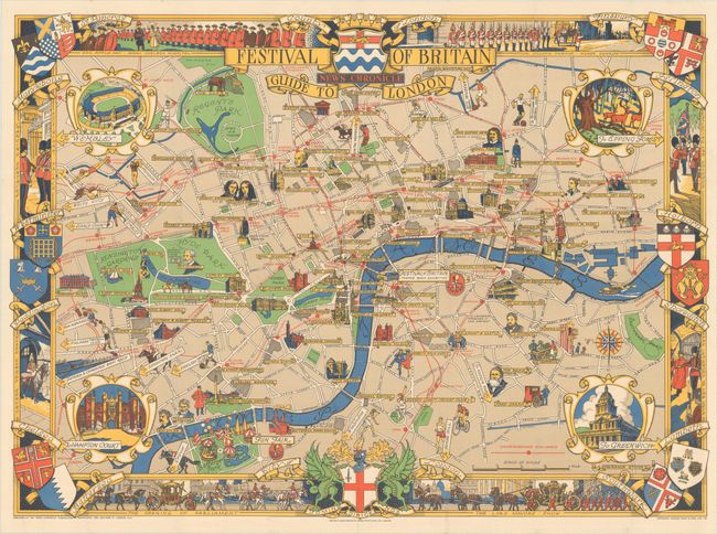
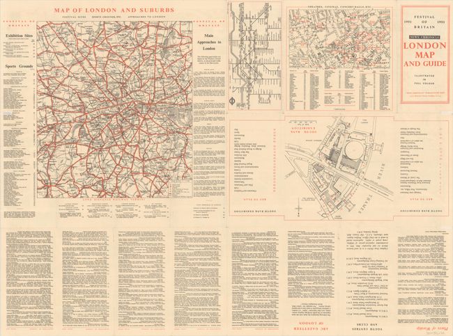
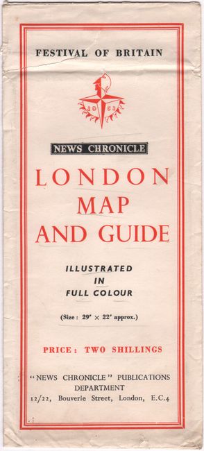
This eye-catching pictorial map of London covers the area from Kensington Palace to London Tower and from Regent's Park to Battersea Park. The map was created for the Festival of Britain, a national exhibition and fair that was intended to celebrate Britain and its recovery from World War II and help the British people forget the misery of the previous decade. The densely filled map displays parks, buildings, named streets, local attractions, the underground railway, and the location of the Festival. Cartouches in the corners depict Wembley Stadium, Epping Forest, Hampton Court Palace and Greenwich Hospital. The map is surrounded by a border featuring various ceremonies of the King's Guard. This map was created by Lawrence Stone and published by George Philip & Son for the "News Chronicle." On verso are several additional maps showing local transit and the Festival exhibition halls, as well as additional tourist information. This example is accompanied by the original printed paper envelope in which it was issued, with the title and price (two shillings) printed on the front.
References: Rumsey #11185.
Condition: A
A bright example, issued folding with a few tiny holes and separations along the folds. Three 1/2" fold separations at the sides of the sheet have been archivally repaired on verso. The envelope has an extraneous fold, light soiling, and a 2" tear at top.


