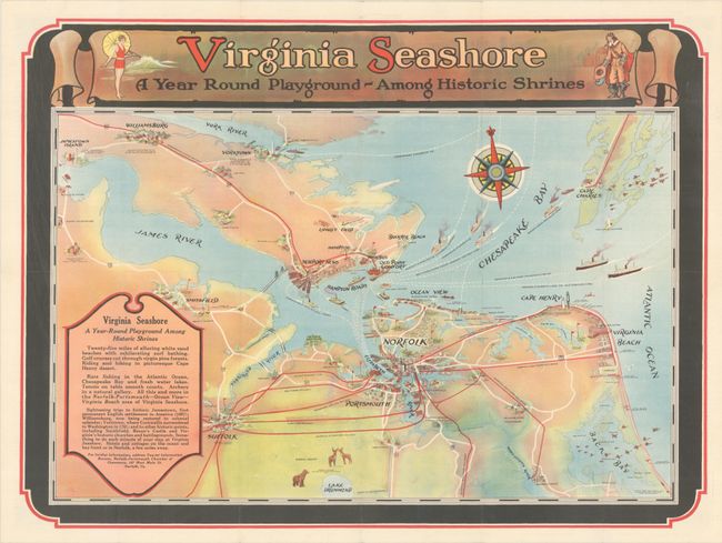
Subject: Eastern Virginia
Period: 1930 (dated)
Publication:
Color: Printed Color
Size:
22.9 x 17 inches
58.2 x 43.2 cm
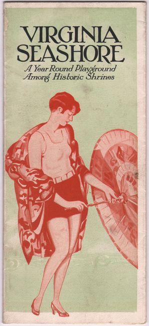
This promotional map of eastern Virginia covers the region from Jamestown and Williamsburg east to Cape Charles and Virginia Beach. It was published in conjunction with the opening of the James River Bridge, connecting Newport News with Isle of Wight County (now Route 17). This 5 mile bridge was touted as the longest bridge in the world at the time, and allowed for easier access to Virginia Beach and other coastal communities. The verso of this edition contains a small map (2.6 x 6.4") spanning the Eastern Seaboard from Norfolk to Boston and text and black & white photos on the history and tourist attractions of the region. This edition was published by the Tourist Information Bureau of the Norfolk-Portsmouth Chamber of Commerce. Self-folding (4.0 x 9.0").
References: cf. Rumsey #8397.
Condition: A
A colorful example, issued folding.