Subject: Texas
Period: 1960 (circa)
Publication:
Color: Printed Color
Size:
21.1 x 16.2 inches
53.6 x 41.1 cm
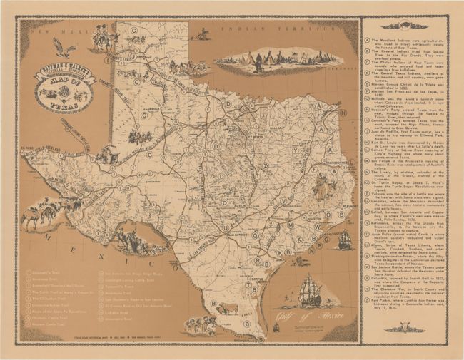
This map focuses on the historical people, places and events in Texas. The numbered key at bottom left locates 17 important roads, trails and wagon routes, while the lettered key at right gives information on historical sites and events as well as the Native American tribes that inhabited Texas. Vignettes of Native Americans and pioneers are scattered throughout. Created by Hoffman and Walker and published by Texas State Historical Maps. This map is accompanied by the original shipping tube.
References:
Condition: A+
A nice example printed on tan paper with some minute creasing along the edges of the sheet. The mailing tube shows light wear.


