Subject: Pasadena, California
Period: 1922 (dated)
Publication:
Color: Black & White
Size:
31.5 x 31.3 inches
80 x 79.5 cm
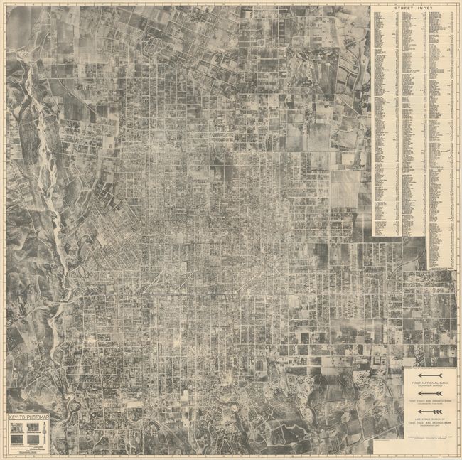
This is a very uncommon and detailed photo-lithographic map of Pasadena that was photographed from an elevation of 8,000 feet above the city. An early example of an aerial map, it shows street names, railroads, and electric railways superimposed over the 'satellite' image. Major streets are further called out by line, and major complexes are named. The scale is about 12" to a mile. The detail is not up to modern aerial photography standards but is adequate enough for one to make out individual houses and other structures. Early earthwork for the construction of the Rose Bowl ("Stadium Site") can be seen at the left. An aerial view would have been foreign to the average citizen so the legend uses example photographs to show how business and residential sections, orchards, and fields appear from the air. Published for the First Bank of Pasadena as a free give-away promotional map of the city.
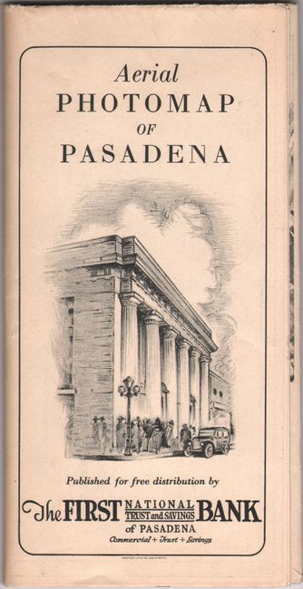
The verso has a panel that indicates the map was made especially for the FIRST BANK by the Photomap Company of Pasadena, plus 10 aerial views of the city as well as promotional and bank information. This is an early aerial photography map that was not produced for military purposes. Printed on newsprint paper and published by the Western Litho Co., Los Angeles, CA. Self-folding (4.0 x 8.0").
References: Rumsey #13216.
Condition: B+
Issued folding with an 8" fold separation at right that has been closed on verso with archival tape. There are also a few short splits at the fold junctions.