Subject: Napa & Sonoma Valleys, California
Period: 1967-70 (circa)
Publication:
Color: Printed Color
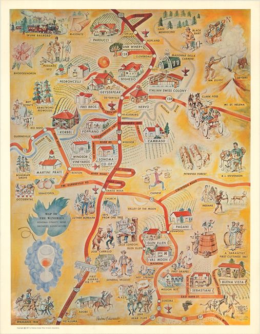
A. Map of the Wineries Sonoma County Wine Growers Association, dated 1967 (16.3 x 21.4"). This charming pictorial map was created by Parker Edwards and published by the Sonoma County Wine Growers Association. The map shows the main roads in Sonoma Valley with each winery marked with a white banner and a depiction of the main building. Also included in the map are vignettes of important historical figures and sites in the regions. A description of each winery is on verso. Printed by Naturegraph Press. Condition: Clean and bright with some light creasing and one small pink stain at bottom center.
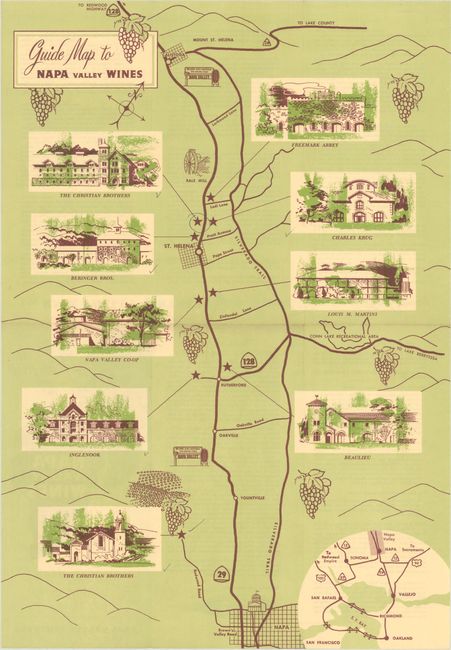
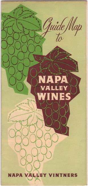
B. Guide Map to Napa Valley Wines, circa 1970 (12 x 17.3"). This promotional map shows the wineries located in Napa Valley between Napa and Calistoga. Vignettes of each winery are included, and an overview map of the main roads between San Francisco and Napa is included at bottom right. On verso are descriptions of each of the wineries. Published by Napa Valley Vintners. Condition: Issued folding with a few small pencil and ink markings from a previous owner denoting the locations they had visited. Light soiling on verso.
References:
Condition: A
See description above.