Subject: Colonial Southern United States
Period: 1775 (published)
Publication:
Color: Black & White
Size:
9.6 x 12.9 inches
24.4 x 32.8 cm
James Adair was a frontiersman and fur trader who spent forty years living and interacting with Native American Indians in the Southeast. He was one of the first white settlers to explore the Alleghenies, and spent much of his time with the Cherokee, Catawba and Chickasaw tribes. His work outlines his first-hand information on their religion, customs, beliefs, ceremonies, and language. Although Adair includes a chapter outlining the similarities between Jews and the Native Americans, arguing that the Natives descended from the Jewish people, the majority of his work is filled with astute and valuable observations on Indians. Howes considers Adair's work the "best 18th century English source on the Southern tribes."
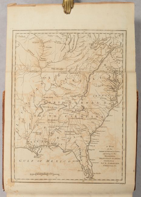
The frontispiece to Adair's work is a map engraved by John Lodge, A Map of the American Indian Nations, Adjoining to the Missisippi, West & East Florida, Georgia, S. & N. Carolina, Virginia, &c., depicting the southern United States extending north to Lake Michigan and Lake Erie, and west just past the Mississippi River. The map shows the locations of numerous Indian tribes, both common ones such as the Creek and Cherokee, as well as lesser known tribes, such as Ishtahoe and Kow-he-tah. The states are named with the boundaries of Virginia, North Carolina, South Carolina, and Georgia extending west to the Mississippi River. The borders of Virginia appear to extend north to Lake Erie and Lake Michigan, with Maryland and Pennsylvania ambiguously confined to the northeast. In North Carolina, Lord Granville's Line is identified along the northern border. Also of note are several early forts that are identified, including Fort Moore, Fort Conde, Fort Tumbikbe and Fort Toulouse.
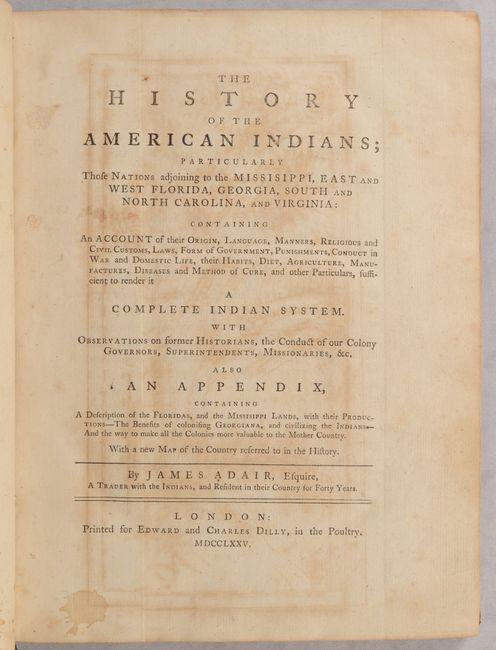
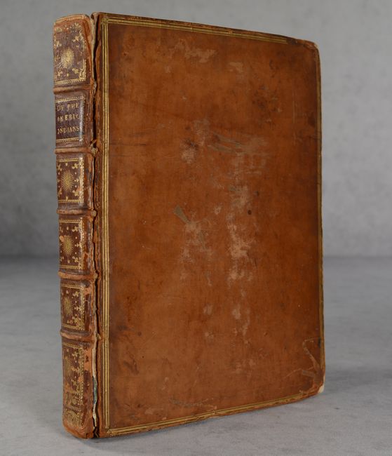
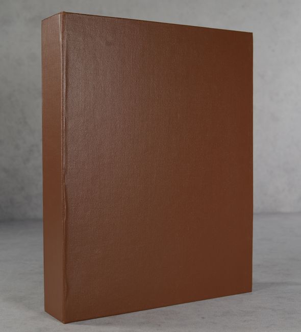
Quarto. Frontispiece (map); title page; dedication; preface; table of contents; 464 pp. Hardbound in full contemporary leather with gilt border on covers; raised bands, gilt tooling, and red leather title label with gilt title on spine; marbled endpapers; all edges red. Housed in a modern brown cloth clamshell.
References: Cumming (SE) #448; Howes #A-38; Sabin #155.
Condition: B
The map is issued folding and has moderate offsetting, some mis-folding, a stain at bottom left, and heavy toning along the top edge of the sheet. The title page has moderate offsetting from the map and a stain at bottom left. The text is generally clean and bright with only occasional toning or foxing. Covers are worn with stains, abrasions, and bumped corners. Front cover is nearly detached and back cover is beginning to detach. Spine is cracked with some abrasions. Clamshell is in excellent condition.