Subject: Canada, Atlas
Period: 1875 (published)
Publication:
Color: Printed Color
Size:
14.1 x 18.1 inches
35.8 x 46 cm
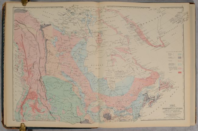
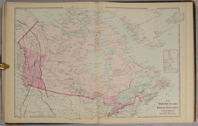
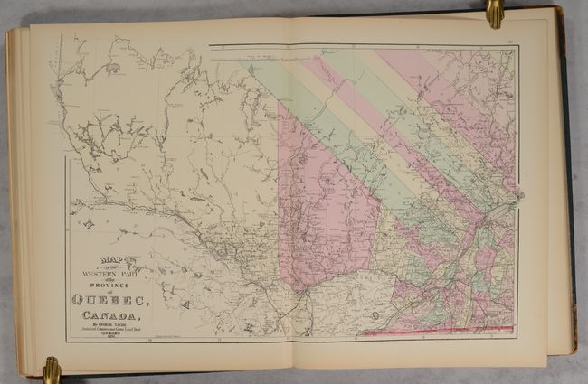
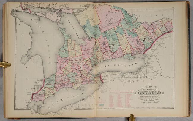
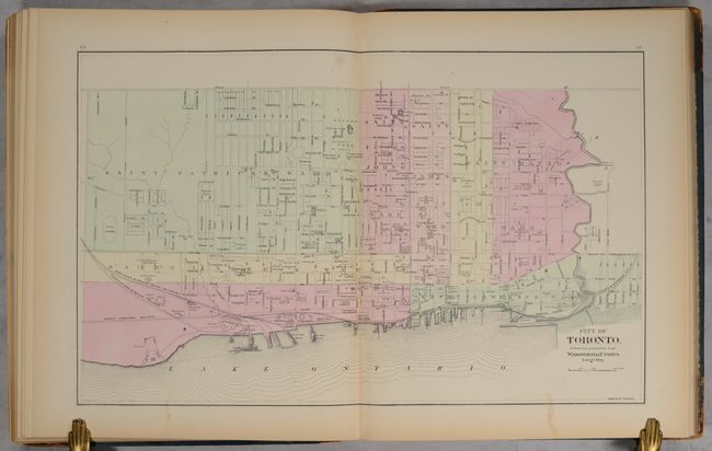
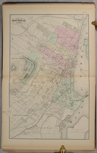
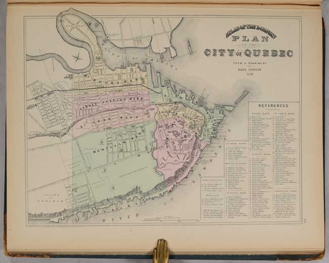
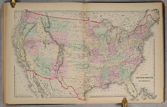
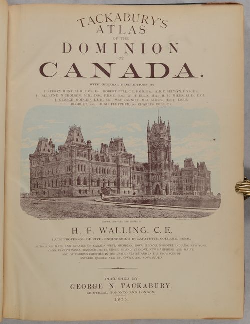
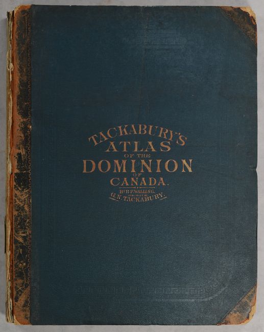
This attractive and detailed atlas of Canada was drawn, edited, and compiled by Henry Walling and published by George Tackabury in Montreal, Toronto and London. It contains 20 double-page and 30 single-page maps, featuring 4 double-page maps of Canada showing geology, climatology, railroads, and political boundaries. The atlas also presents maps not seen in world atlases, illustrating provinces, counties, and larger cities including Toronto, Montreal and Quebec. The province of Quebec is captured in three double-page maps (western, central and eastern). Following the Canadian maps are double-page maps of the United States and Europe. The title page features an illustration of the Parliament Buildings in Ottawa. 252 pages. Title page, preface, text, maps, list of towns/cities/post offices, and advertisements showing "principal business houses and professional men." Hardbound in quarter calf with tips over green cloth boards with gilt title on the front cover.
References:
Condition: B+
Condition code is for the maps and text, which are very good with some light toning mostly along the sheet edges. Title page and first preface page are partially loose at bottom. Front cover is detached, rear cover is starting, and the spine backstrip has perished. Covers are worn primarily along the edges.


