Catalog Archive
Auction 195, Lot 106

"North America", Ettling, Theodor
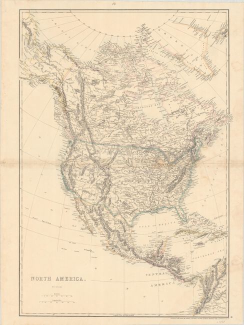
Subject: North America

Period: 1868 (circa)

Publication: Weekly Dispatch Atlas

Color: Hand Color

Size:
17.4 x 24.9 inches
44.2 x 63.2 cm
Download High Resolution Image
(or just click on image to launch the Zoom viewer)

This great map shows early territorial borders in the west. Arizona encompasses the southern tip of Nevada and a large Dakota territory encompasses present-day Wyoming. The map is finely engraved showing major towns and settlements, state boundaries, watershed, forts and Indian tribes.

References:

Condition: B+

Contemporary outline color on a bright sheet that has been mounted on linen. There is some light soiling, a few small dampstains, and toning along the centerfold.

Estimate: $100 - $130

Sold for: $75

Closed on 11/15/2023

Archived