Subject: Atlases
Period: 1846 (published)
Publication:
Color: Hand Color
Size:
12.8 x 17 inches
32.5 x 43.2 cm
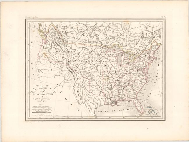
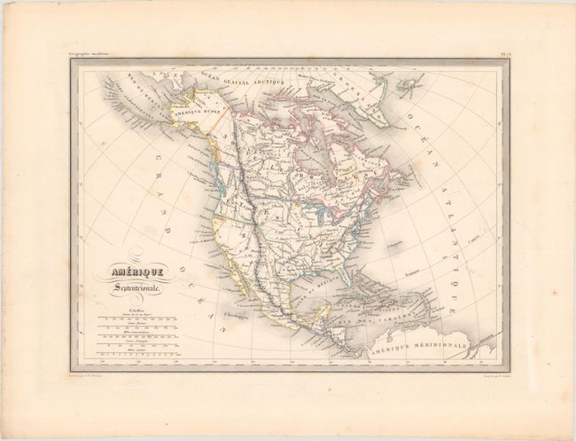
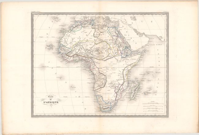
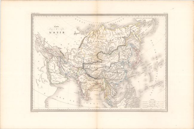
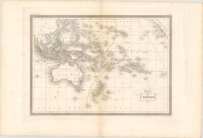
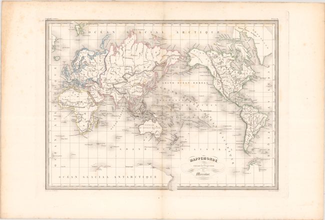
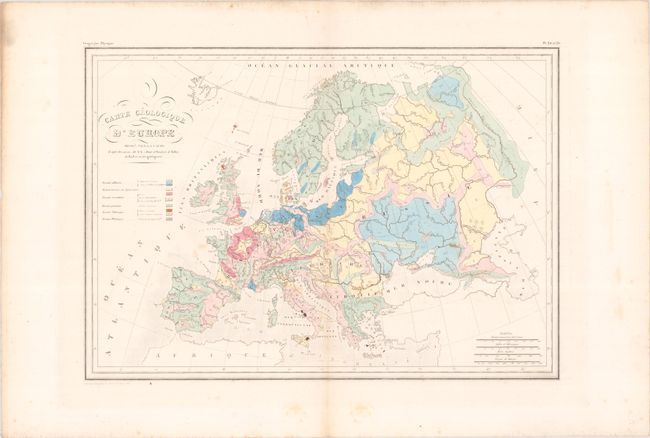
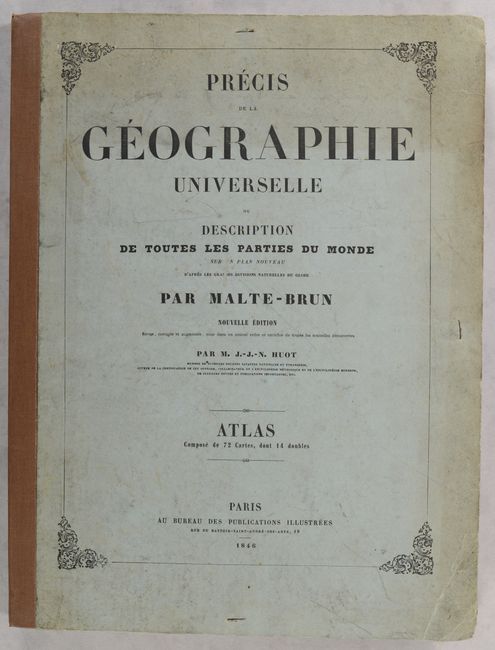
This complete atlas contains 72 maps, comprised of 14 double-page and 58 single-page maps. 23 relate to the ancient world, while the remaining 49 focus on the modern world. Within the modern maps there are 2 of the world, 3 of France, 3 geological maps, and 5 related to North America. The map of the United States shows a large Territory of Missouri that extends throughout the Midwest and Pacific Northwest, while Mexico extends to the border of present-day Oregon. While Texas is shown as part of Mexico on this map, it is depicted as the Republic of Texas in the map of North America (both outdated for the publication date). Both maps show the U.S. border extending well into present-day British Columbia, reflecting U.S. interests in the region. Originally published by Malte-Brun, this edition has been updated and revised by Huot to contain "all the new discoveries."
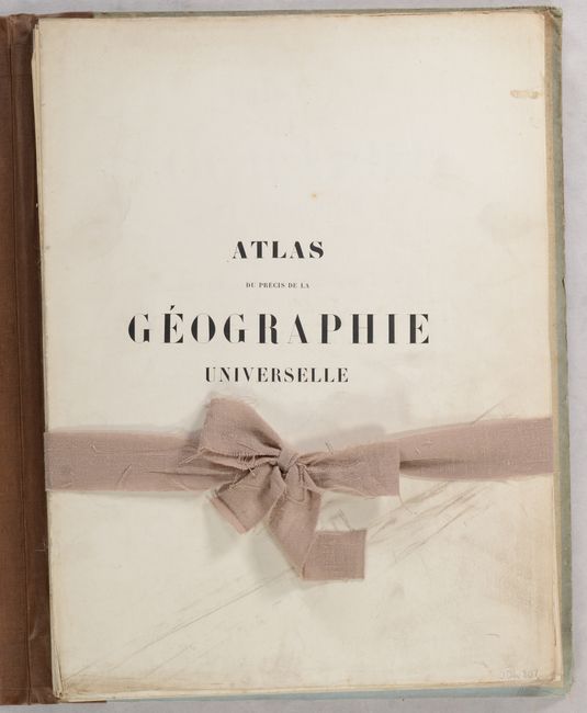
This edition was published in an unusual format, having been issued as a set of loose sheets with ribbon tie and housed in blue paper boards.
References:
Condition: B+
The maps are mostly very good to near fine with contemporary outline color and some scattered foxing. Half-title page is soiled. Covers are soiled and lightly worn with bumped corners.