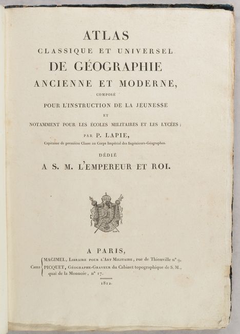
Subject: Atlases
Period: 1812 (published)
Publication:
Color: Black & White
Size:
10.8 x 14.6 inches
27.4 x 37.1 cm
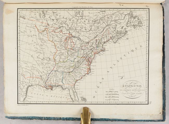
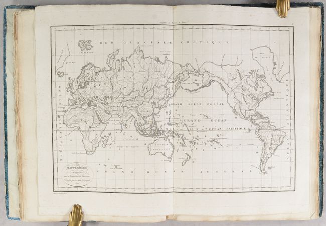
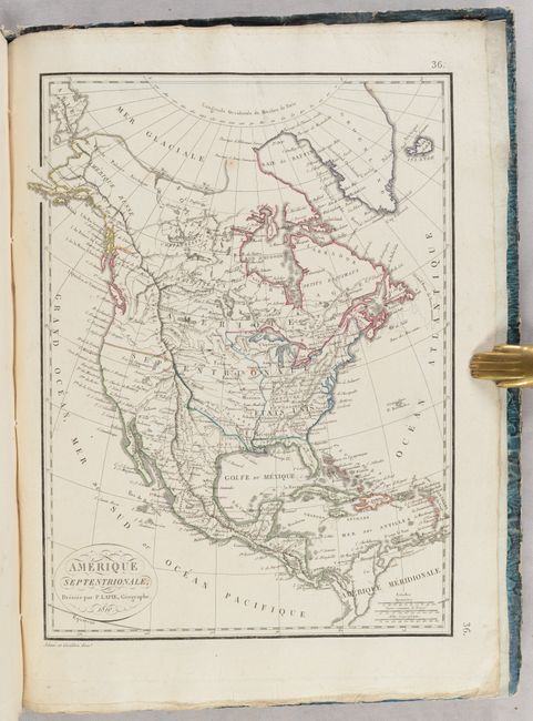
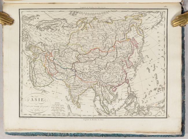
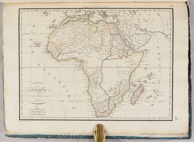
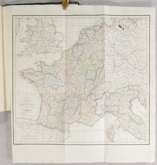
This lovely school atlas includes a 2-page introduction describing each of the 39 maps in the volume. The maps include one chart of the solar system, nine historical maps, two world maps, five continent maps, 14 regional maps of Europe, 3 regional maps of Asia, 2 regional maps of Africa, Oceania, a map of the United States, and a map of the Gulf of Mexico and Caribbean. Of the 39 maps, 3 are large folding maps, and each map is delicately engraved and highly detailed. The interesting map of the United States features a well mapped river system and numerous Native American tribes. The map shows 17 states, with Louisiana shown as a massive territory. It also names the territories of Mississippi, Indiana, Michigan, and Maine (Mains here).
Hardbound in marbled paper with engraved title label pasted onto front cover.
References:
Condition: A
The condition grade is for the maps, which are clean and bright with contemporary outline color and minor occasional spots of foxing. The folding map of France has two ink stains at top right. The covers are worn and abraded with heavily bumped corners, and the front cover is nearly detached. The spine is nearly perished.