Subject: San Francisco, California
Period: 1908 (published)
Publication:
Color: Printed Color
Size:
19.6 x 23.4 inches
49.8 x 59.4 cm
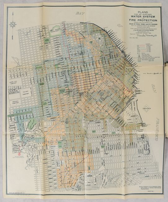
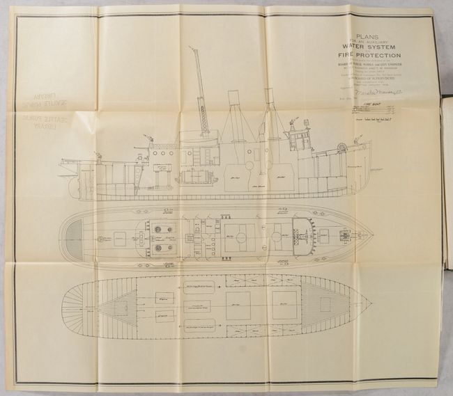
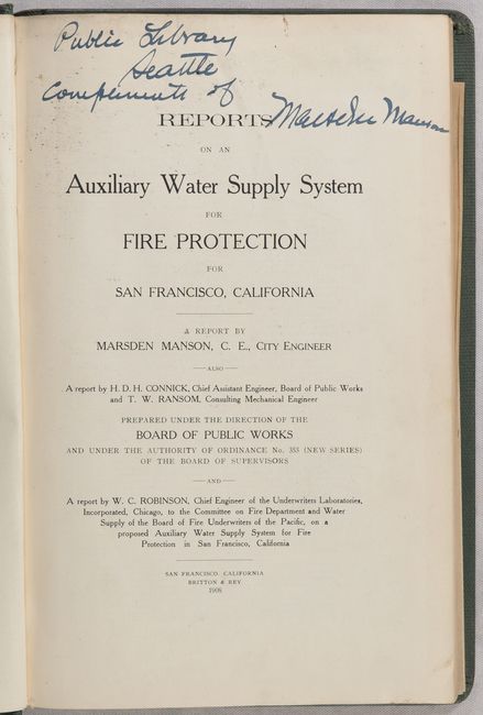
This report concerns the construction of a sophisticated new water supply system following the 1906 Earthquake and devastating fires that destroyed 80% of the city's buildings. This water system was designed only for fire department use, which allowed the system to maintain both pressure and volume at all times (the old system failed shortly after the earthquake). The Auxiliary Water Supply System (AWSS) remains the only dedicated high-pressure network in the United States. The 173-page report by Marsden Manson, City Engineer, includes 14 plates and the following four maps at the back of the volume all with title Plans for an Auxiliary Water System for Fire Protection…1908:
Sheet No. 1. Showing Arrangement of the Distributing System and Locations of Hydrants, Reservoirs and Pumping Stations.
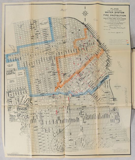
Sheet No. 2 Showing Locations of Call Boxes and Central Stations of Proposed Telephone System.
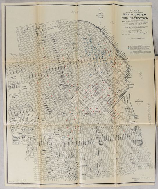
Sheet No. 3 Showing Location of Existing Cisterns and Preliminary Location of 65 of the Proposed Cisterns.
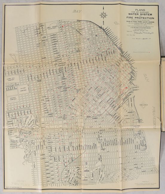
Sheet No. 5 Showing Locations of Breaks in Mains of the Spring Valley Water Co., The Fire Limits and the Boundary of the District within which Fireproof Roofs are Required.
Following the four maps is a large detailed plan for a fire boat (Sheet No. 4). Prepared under the direction of the Board of Public Works and published by Britton & Rey in San Francisco. Hardbound in green cloth with gilt title on the spine. Title page indicates the volume was a presentation copy from the author to the library with Manson's signature.
References:
Condition: B+
The folding maps are clean and bright with a few small binding tears, a bit of light toning along the folds, and perforated "Seattle Public Library" stamps that only mildly detract. Text and other plates are clean and bright. Front free endpaper is partially torn off with a visible deaccession stamp from the library. Binding has average wear with bumped corners.