Catalog Archive
Auction 194, Lot 200

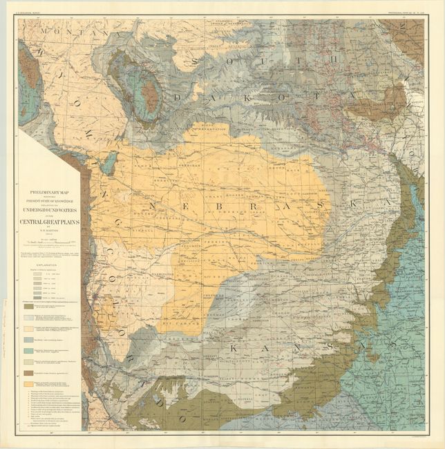
"Preliminary Map Showing Present State of Knowledge Relating to Underground Waters in the Central Great Plains", U.S. Geological Survey (USGS)
Subject: Western United States

Period: 1904 (dated)

Publication:

Color: Printed Color

Size:
30 x 30.4 inches
76.2 x 77.2 cm
Download High Resolution Image
(or just click on image to launch the Zoom viewer)

This colorful and attractive map of the Great Plains extends from the Kansas/Oklahoma border north to southern Montana and from the Front Range east to the Missouri River. Topography and hydrography are well developed with scores of wells and well depths identified in red overprinting. A legend at lower left further identifies eight geological types through a combination of color and texture. Compiled by Nelson Horatio Darton and published in Professional Paper #32.

References:

Condition: A+

Fine, issued folding.

Estimate: $110 - $140

Sold for: $80

Closed on 9/13/2023

Archived