Subject: References, Mexico, Central America, West Indies, & South America
Period: 1930-33 (published)
Publication:
Color: Black & White
Size:
6.7 x 10.3 inches
17 x 26.2 cm
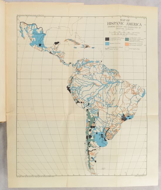
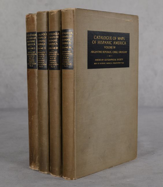
This 4-volume series is a comprehensive catalog of maps of Mexico, Central America, the West Indies, and South America. There is a short chapter on the cartography of each region followed by the catalog. Includes maps from scientific periodicals, books, and atlases as well as separately issued maps. Volume I includes a full-color folding map of Hispanic America (11.0 x 13.5"); 14 additional black & white regional maps appear across the 4 volumes. Published by the American Geographical Society. Vol. I - 287 pages; Vol. II - 254 pages; Vol. III - 217 pages; Vol. IV - 295 pages. Hardbound in gray cloth with gilt titling on covers and spines.
References:
Condition:
Volume I is in B condition with hinges starting, moderate shelf wear, and extensive manuscript notations in pencil throughout the text. The folding map has a couple fold separations. The remaining three volumes are in B+ condition with minor toning in the text and covers with light to moderate shelf wear and soiling.