Catalog Archive
Auction 193, Lot 554
"Estats, de l'Empire des Turqs en Europe; et Pays Circomvoisins; Entre Lesquels sont Hongrie, Transilvanie, Valaquie, Moldavie, Petite Tatarie &c...", Sanson/Mariette
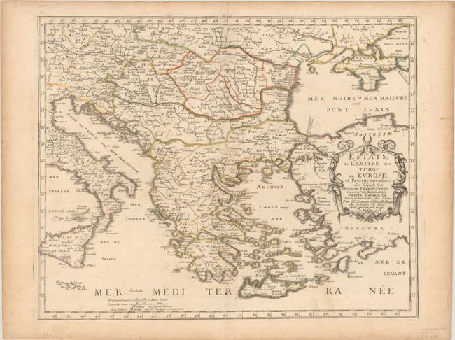
Subject: Balkans
Period: 1655 (dated)
Publication: Cartes Generales de Toutes les Parties du Monde
Color: Hand Color
Size:
19.8 x 15.7 inches
50.3 x 39.9 cm
Download High Resolution Image
(or just click on image to launch the Zoom viewer)
(or just click on image to launch the Zoom viewer)