Catalog Archive
Auction 193, Lot 372

"Carte du Perou, pour Servir a l'Histoire des Incas et a Celle de l'Etat Present de Cette Province...", Buache/Dezauche

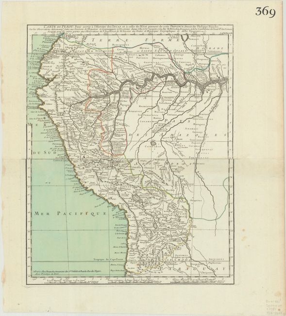
Subject: Western South America, Peru

Period: 1780 (circa)

Publication:

Color: Hand Color

Size:
12.1 x 15.1 inches
30.7 x 38.4 cm
Download High Resolution Image
(or just click on image to launch the Zoom viewer)

This map focuses on present-day Peru and Ecuador, extending east to show much of the Amazon River. The river and its tributaries are highly detailed, and the map is filled with tiny towns. The map is based on the work of Godin, Bouguer, and Frezier. Printed on two sheets, joined.

References:

Condition: A

A crisp impression with full contemporary color on bright sheets with bunch of grapes watermarks, very minor soiling in the image, and several small stains in the blank margins.

Estimate: $120 - $150

Sold for: $90

Closed on 6/21/2023

Archived