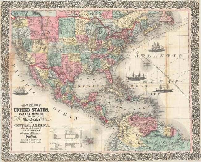
Subject: North America, Civil War
Period: 1863 (circa)
Publication:
Color: Hand Color
Size:
27.3 x 21.9 inches
69.3 x 55.6 cm
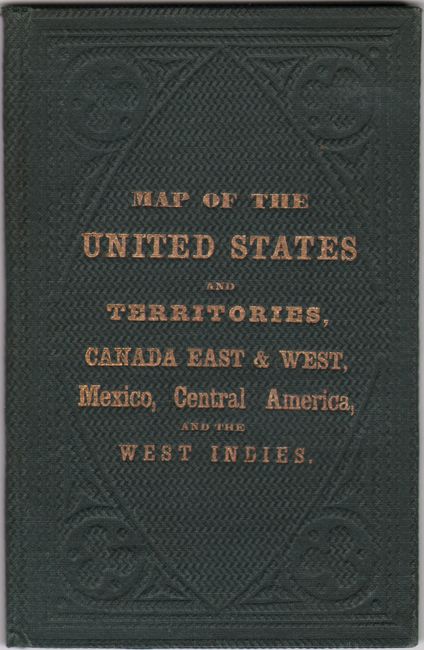
This is an updated Civil War era edition of Ensign’s map published during the Gold Rush and still shows “all the routes to California.” This version was issued sometime around 1863 as West Virginia is shown as a state though no capital is noted. Another indication of an 1863 date is the appearance of a huge Idaho Territory that encompasses present-day Montana and Wyoming. Other interesting western territorial configurations include an enlarged Utah Territory and a New Mexico Territory that encompasses the southern tip of Nevada. Along the Mexican border an undefined Arizona is noted, likely a reference to the Confederate Territory of Arizona. The map is filled with many details including rivers, railroads, wagon roads and Indian tribes and extends to include portions of Canada, Central America, northern South America and all of the Caribbean islands. Sea routes between various ports are displayed along with 4 vignettes of sailboats and steamships, and a table listing distances between ports is located at lower left. Surrounded by a decorative border. Accompanied by original green boards with gilt title on the front cover (3.6 x 5.7”).
References: cf. Wheat (TMW) #804.
Condition: B+
Issued folding with some light toning along the folds, staining along the left border where the map was previously attached to boards, and some small fold separations closed on verso with archival tape. Covers have minimal wear.