Subject: References, French Cartography
Period: 2011 (published)
Publication:
Color: Printed Color
Size:
10 x 14 inches
25.4 x 35.6 cm
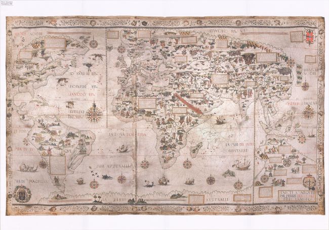
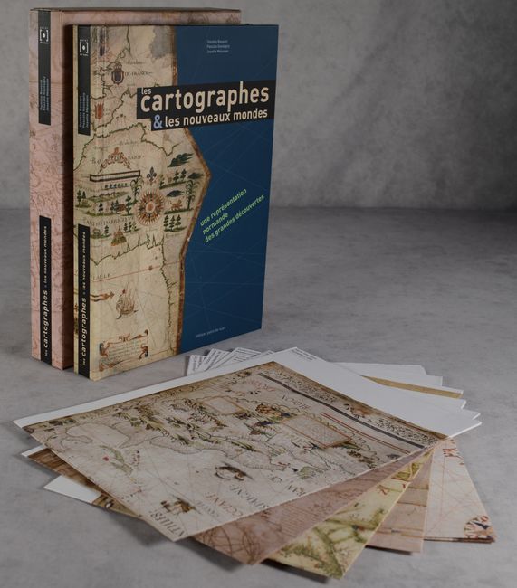
This handsomely produced French-language reference and portfolio by Daniele Baverel, Pascale Goutagny, and Josette Measson explores the history of Norman cartographers in the 16th and 17th centuries. During that era, Normandy was the main hub for French cartography, thanks to the stunning work produced by the Dieppe School of mapmakers. Eleven of these incredible maps are examined here. The book is profusely illustrated and includes an introduction by Francois Bellec, Vice President of the Societe de Geographie and a member of the Academie de Marine. 256 pages. Hardbound with illustrated covers. An accompanying cardboard portfolio contains 8 folding color reproductions of Dieppe maps, including works by John Roze, Pierre Desceliers, and Guillaume Le Testu. The book and portfolio are both housed in a beautifully illustrated cardboard slipcase.
References:
Condition: A+
Like new.