Subject: Atlases
Period: 1886 (published)
Publication:
Color: Hand Color
Size:
14 x 19.8 inches
35.6 x 50.3 cm
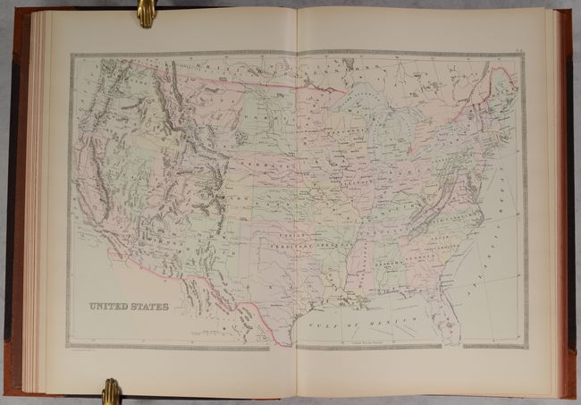
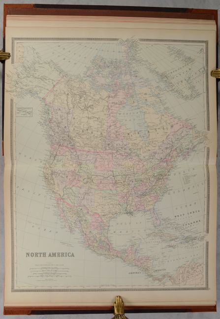
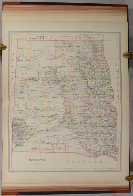
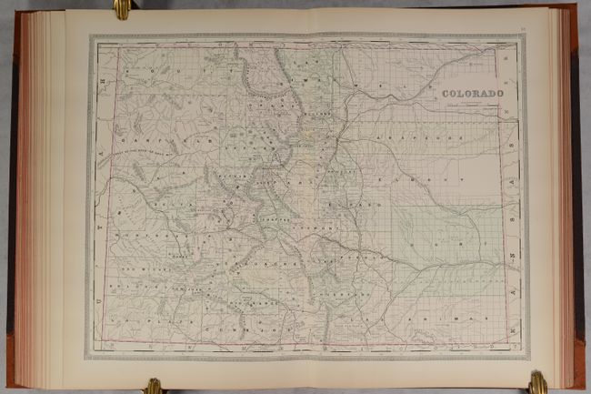
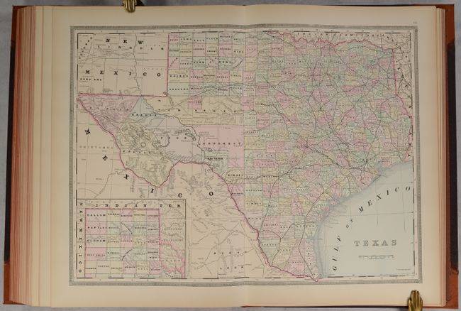
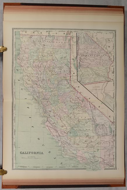
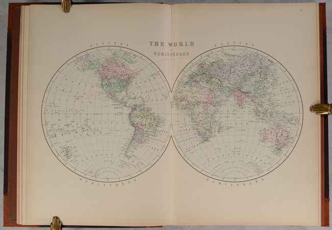
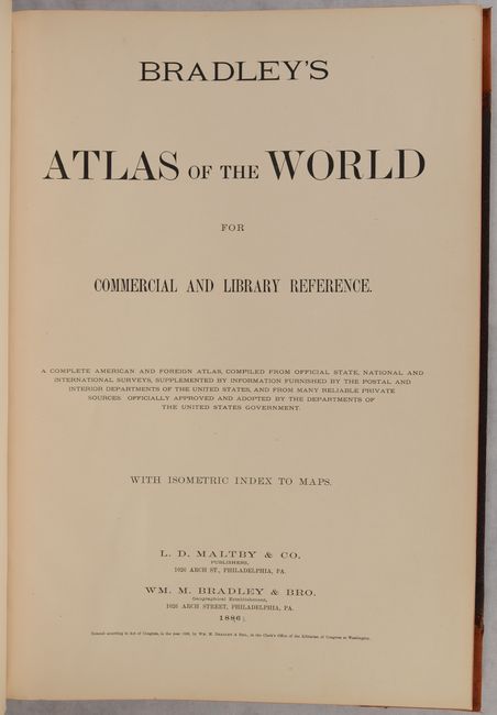
This atlas was originally issued with maps of both the eastern and western hemispheres, and is offered here with 34 double-page maps dedicated to the western hemisphere only. It is remarkable for being one of the last atlases to contain fully hand-colored maps, all with blank verso and backstraps. It features two maps of the United States, including a railroad map with printed route lines. The atlas also contains a double-page map of the Dakotas, issued three years before they would separate into two states, and a nice map of Colorado issued 10 years after statehood. Many of the central and western maps still show limited development with many counties organized but not settled. Includes two attractive world maps, a map of North America, and South America on two sheets. Embellished by decorative borders. Rebacked with tan cloth and tips over original brown pebbled-cloth boards with gilt title on the front cover.
References:
Condition: A
The maps are remarkable clean and bright with a hint of toning along the sheet edges. Rebacked with original covers, which are lightly worn.