Subject: Atlases, Texas
Period: 1851 (published)
Publication:
Color: Hand Color
Size:
9.6 x 12 inches
24.4 x 30.5 cm
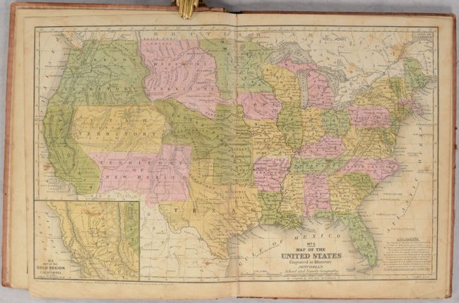
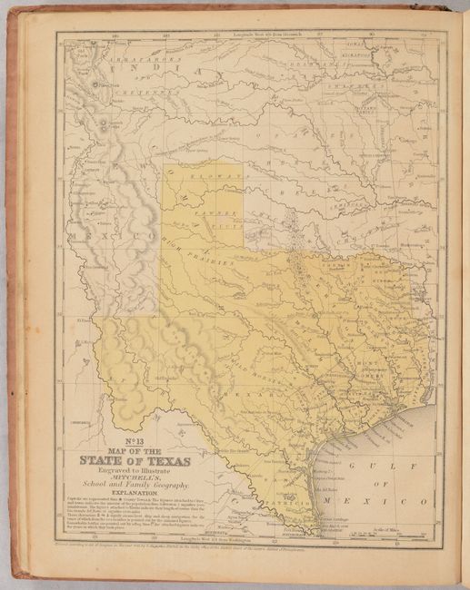
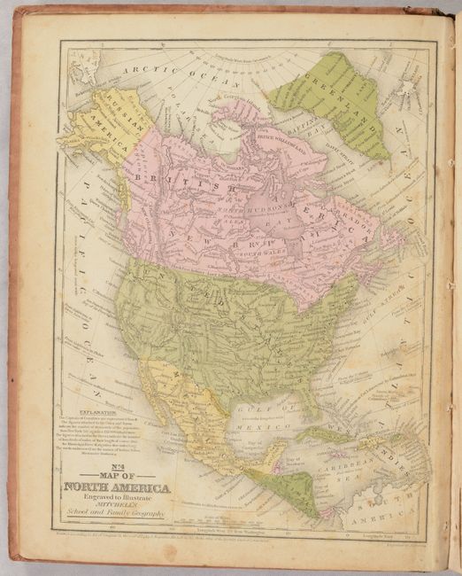
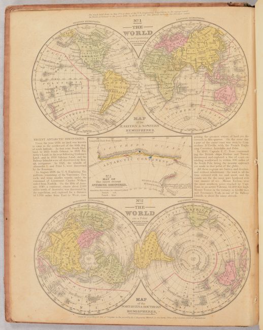
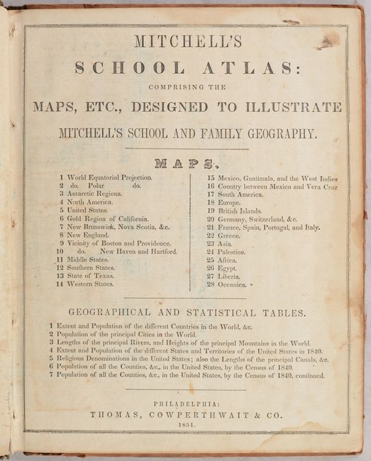
This is the fourth edition of Mitchell's school atlas, complete with 28 maps on 12 single-page and 5 double-page sheets. Of particular interest is the double-page map of the United States that features transitional western borders including the important territorial acquisitions of the Mexican-American War, pre-Gadsden Purchase. The territories of Oregon and Washington extend to the Continental Divide. Minnesota Territory includes part of the Dakotas and the huge Missouri Territory rests between the Continental Divide and Minnesota. The inset map "No. 6 Map of the Gold Region of California" delineates the Gold Regions, naming Sutter's Buttes, Sacramento City, and all of the important creeks of the gold region feeding into the Sacramento and Feather Rivers. The atlas also contains a nice single-page of Texas, the first edition to reflect its final state boundaries. Hardbound with pictorial paper over boards. Published by Thomas, Cowperthwait & Co.
References:
Condition: B
The maps are generally good with light toning, scattered foxing, occasional dampstains, and minor soiling. The map of Texas is very good with just light toning. Covers are worn, soiled, and nearly detached.