Subject: Atlases
Period: 1848 (circa)
Publication:
Color: Hand Color
Size:
13.2 x 17.4 inches
33.5 x 44.2 cm
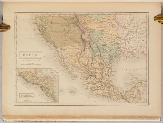
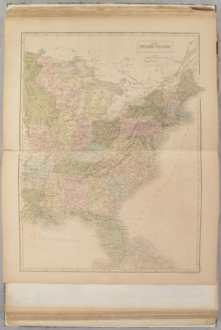
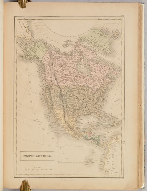
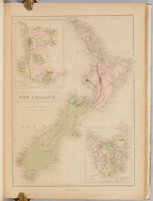
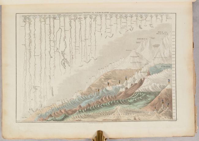
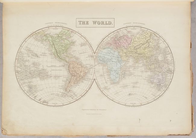
This atlas is nearly complete and features 53 maps, including 13 double-page and 40 single-page maps (missing only the title page). The atlas consists of the following geographies: world (6), Europe (24), Asia (9), Africa (3), North America (5), South America (4), and Oceania (2). Of particular interest is the map of Mexico, California & Texas featuring a vast California stretching to the Rockies, labeled as Upr. or New California. The rivers of the Gold Region are well depicted and Ft. Sutter is located, but there is no mention of gold. Texas has an unusual shape here, with the panhandle extending north to the Arkansas River. New Mexico is a sliver of a territory between the oversized California, Texas, and Indian Territory, which starts at Red River and stretches north and to the west, over the Texas panhandle to the eastern edge of the Rockies. The map features a pre-Gadsden Purchase border between Mexico and the United States. The atlas also features detailed maps of New Zealand and New South Wales. Other full-page plates include thematic engravings showing Mountains and Rivers and another showing Humboldt's Distribution of Plants. Contains list of maps, introduction & statistics (12 pages), maps, and index (58 pages). Engraved by Sidney Hall and published by Adam & Charles Black in Edinburgh.
References:
Condition: B+
The maps are very good to near fine with full contemporary color and some occasional light toning and soiling. The map of southern England & Wales has a long centerfold separation and soiling (B). Modern binding is near fine with minor shelf wear.