Subject: Atlases
Period: 1817 (circa)
Publication:
Color: Hand Color
Size:
9.9 x 12.9 inches
25.1 x 32.8 cm
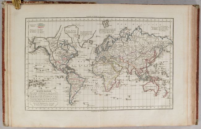
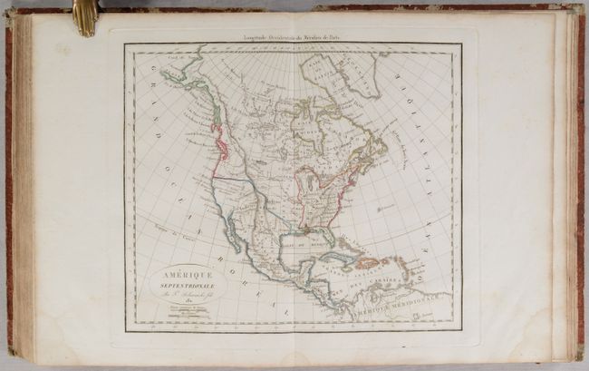
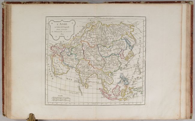
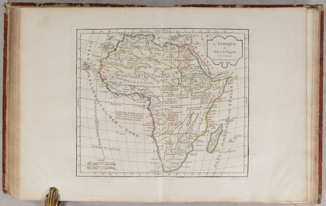
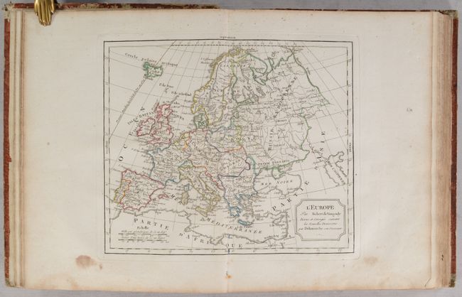
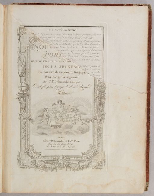
This French student atlas contains 51 maps, many of which were updated by Felix Delamarche. First published in 1762, Nouvel Atlas Portatif was Didier Robert de Vaugondy's only independent atlas venture, without any financial backing from others. It was designed specifically for educating young students, and is prefaced with "Discours sur l'Etude de la Geographie," in which he laid out his philosophy of teaching children geography. This is the last edition and includes three world maps, six related to the Americas, two of Africa, five of Asia, five of the Holy Land, and the balance of Europe. The three world maps on Mercator's projection are identical except for color-coding to indicate different religions, skin color, and facial features in various regions around the world. Four of the maps on the list of maps are missing (first world map, regional map of France, map of South Africa, and one of the Holy Land maps), however three maps have been added that are not on the list (Prussia, South America, and the Middle East).
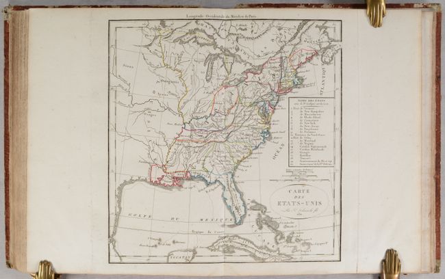
The map Carte des Etats-Unis was added by Felix Delamarche and lists the twenty political divisions of the United States in 1811. Besides the seventeen states, the map also identifies the Territory of the North-West, and the Governments of Mississippi and New Orleans. The list is keyed to the map. The organized New Orleans is a large region occupying much of today's Louisiana. Only Ohio (1803) has been formed from NW Territory, but with significantly different borders than we see today. Each political entity is identified with engraved line and hand coloring, and many frontier towns are named and located. The map extends roughly to the center of Texas (unnamed) with some watershed information in the mostly blank Louisiana Territory. There is good detail of the Great Lakes and the course of the St. Laurence River.
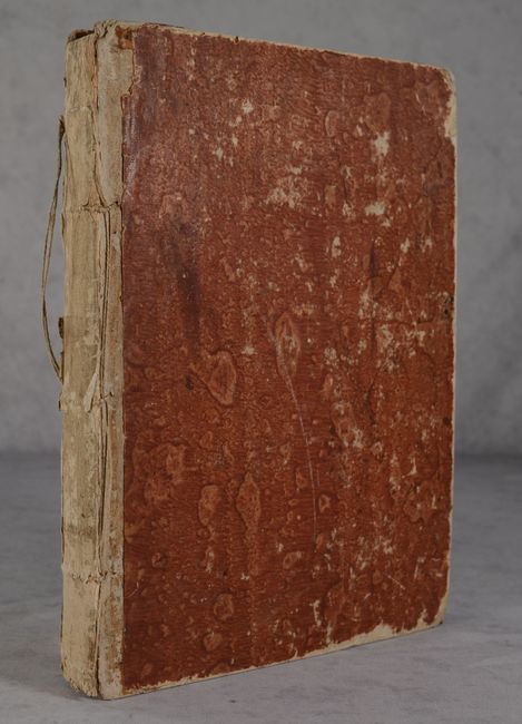
The title page is followed by 9 preliminary pages that include a list of maps and an alphabetical index of place names. 4to, Bound in marbled boards.
References: Pedley, pp. 97-102, 231; Shirley (BL Atlases) T.ROBV-2a.
Condition: B+
Condition grade is for the maps, which have contemporary outline color and are mostly clean and bright, many in near fine (A) condition. About 9 of the maps are in good (B) condition with light dampstains, light to moderate foxing, or occasional soiling. The top third of the title page and first page of text have been torn off, and the second page of text is missing. The front and back covers are heavily worn and nearly detached. The original leather on the spine and tips has been completely chipped off so the strings holding the binding together are partially exposed. This example would benefit greatly from rebinding.