Catalog Archive
Auction 192, Lot 692

"Asiatischer Archipel und Neu Holland", Radefeld, Carl Christian Franz

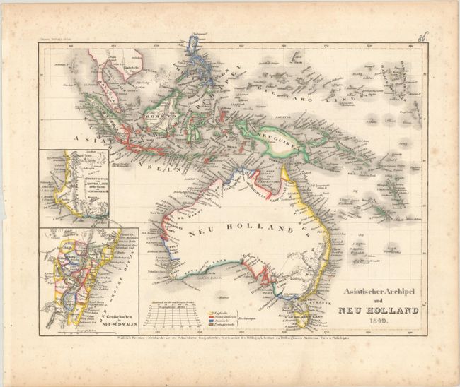
Subject: Australia & East Indies

Period: 1849 (dated)

Publication: Meyers Zeitungs und Groschen-Atlas

Color: Hand Color

Size:
10.6 x 8.3 inches
26.9 x 21.1 cm
Download High Resolution Image
(or just click on image to launch the Zoom viewer)

This small map depicts Australia, Tasmania and the Malay Archipelago. Highly detailed along the coastlines, it identifies those areas that are controlled by the English, Dutch, Spanish and Portuguese. The South Coast is divided into Nuytsland, Flindersland, Baudin's Land and Grants Land. Includes two insets showing Western Australia and New South Wales. Published by the Hildburghausen Biblio Institut.

References: Tooley (Australia) p. 133, #995.

Condition: B+

There is light scattered foxing mostly visible in the blank margins.

Estimate: $100 - $130

Sold for: $75

Closed on 4/26/2023

Archived