Catalog Archive
Auction 192, Lot 546

"Tusciae sive Hetruriae Antiquae Typus", Cluver/Jansson

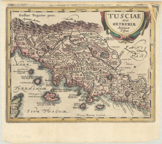
Subject: Western Italy

Period: 1661 (published)

Publication: Introductionis in Universam Geographiam

Color: Hand Color

Size:
7.9 x 6.2 inches
20.1 x 15.7 cm
Download High Resolution Image
(or just click on image to launch the Zoom viewer)

This attractive map describes ancient Tuscany after Ortelius, whose map was based on Bellarmati's map supplemented by classical sources. There are numerous small islands off the coast, as well as a bit of northern Corsica. A strapwork title cartouche adorns the map that was engraved by Petrus Kaerius.

References: cf. Shirley (BL Atlases) T.CLUV-6a #22.

Condition: A

A dark impression on a watermarked sheet with a couple of printer's creases at top right that have been flattened, and light toning along the edges of the sheet.

Estimate: $110 - $140

Sold for: $80

Closed on 4/26/2023

Archived