Catalog Archive
Auction 192, Lot 337

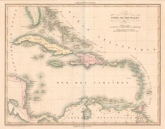
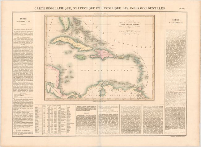
"Carte Geographique, Statistique et Historique des Indes Occidentales", Buchon, Jean Alexandre

Subject: Caribbean

Period: 1825 (published)

Publication: Atlas Geographique, Statistique, Historique ... des Deux Ameriques

Color: Hand Color

Size:
15.4 x 12 inches
39.1 x 30.5 cm
Download High Resolution Image
(or just click on image to launch the Zoom viewer)

This attractive map of the islands was published in the French edition of Carey & Lea's American Atlas. Detail is mainly along the coastlines with place names, banks, reefs and shoals identified. French text describing the history of the region, climate, island groups, population, and religious affiliations surrounds the map on three sides of the large folio sheet (27.6 x 20.5"). Buchon's atlas was issued on finer paper than the Carey & Lea edition, therefore the maps are usually found in much better condition than their American counterparts.

References:

Condition: A

A crisp impression on a bright sheet with a few minor spots.

Estimate: $100 - $130

Sold for: $75

Closed on 4/26/2023

Archived