Subject: Northern Texas, Oil
Period: 1930 (dated)
Publication:
Color: Printed Color
Size:
6 x 9 inches
15.2 x 22.9 cm
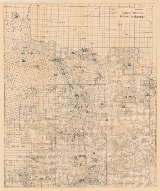
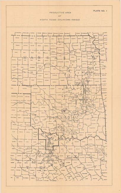
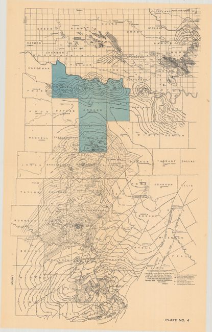
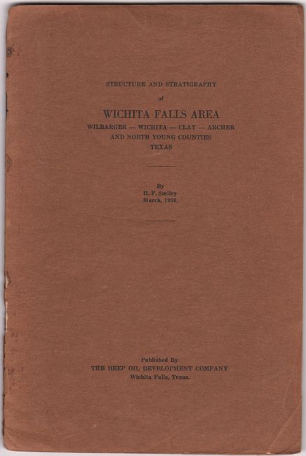
This 24-page report by H.F. Smiley was issued by the Deep Oil Development Company "to assemble as much of the available information as possible concerning the structure and stratigraphy of the five counties mentioned, for the purpose of acquainting those not already familiar with the possibilities of deeper pays." Accompanying the detailed report are five plates in a rear pocket, including the following three folding maps:
A. Wichita Falls Area Shallow Development printed color (19.4 x 23.3"). A very detailed map of the five-county area showing shallow well oil production sites.
B. Productive Area of North Texas-Oklahoma-Kansas black & white (8.9 x 15.1"). Provides a summary of the oil fields in the region with the five counties of North Texas in bold outline.
C. Pre-Mississippian Surface North Central Texas and Southern Oklahoma printed color (9.1 x 15.5"). The five counties in North Texas are highlighted in blue with oil wells located.
The Deep Oil Development Company was formed my local operators and businessmen convinced that "the vicinity of Wichita Falls had possibilities for the production of oil below the present producing depths." Sure enough, after capitalizing the business, the company discovered oil at the Chalk Hill Oil Field in Archer County. Printed paper wrappers.
References:
Condition: B+
Maps and text are very good with even light toning. Wrappers are lightly worn with the front wrapper separated at bottom.