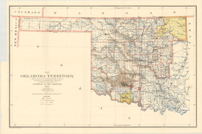
Subject: Oklahoma
Period: 1901 (published)
Publication:
Color: Printed Color
Size:
22.2 x 14.5 inches
56.4 x 36.8 cm
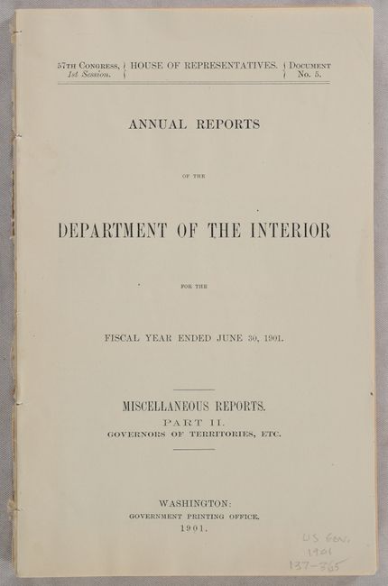
This map was compiled from the corrected map of the General Land Office 1898 and from data on file in the territorial office under the direction of Harry King, Chief of Drafting. It is an attractive map with great detail including railroads constructed and proposed, wagon roads and trails. The map covers present-day western Oklahoma with the panhandle along with the western portion of what was then Indian Territory. Indian reservations within the territory are shown, including the Wichitas, Kiowas, Comanches and Apaches. Land Offices are located in Woodward, Alva, Enid, Perry, Guthrie, Kingfisher, Ft. Reno, Oklahoma City, Mangum and Lawton. Accompanying the map is the original 126-page disbound report with numerous photographic plates.
References:
Condition: A
Folding map is near fine with a couple of faint spots. Disbound report is clean and bright.