Subject: Boston, Massachusetts
Period: 1826 (published)
Publication:
Color: Black & White
Size:
18.8 x 12.3 inches
47.8 x 31.2 cm
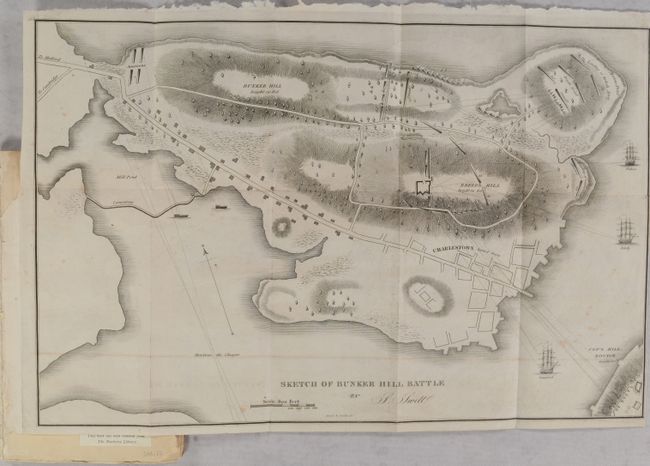
This uncommon plan of the battle of Bunker Hill by Samuel Swett was engraved by Annin & Smith and published by Munroe & Francis. It is based on Thomas Hyde Page's plan of the Battle of Bunker Hill. Although the battle resulted in a British victory and loss of control of Boston, the campaign was considered one of the first steps towards American Independence. Page served as aide-de-campe to General Howe during the action. His plan was first published by Faden and later in Charles Stedman's History of the American Revolution. The map shows cannon fire, lines of attack, British landing places, and British ships in the Charles River. Charlestown is noted as burned down.
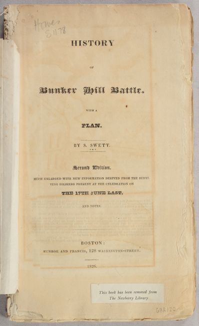
The map is accompanied by Swett's History of Bunker Hill Battle... (58 pages) along with a 30 page Notes to his Sketch.... Octavo, deckled edge paper, paperback with tan wrappers.
References: Phillips (Maps) p. 181; Howes #S-1178.
Condition: B+
The folding map has faint offsetting and scattered foxing, and has been trimmed close to the border at right. Text is very good with a hint of toning. Ex-library with withdrawn sticker from the Newberry Library on the title page. Front wrapper is detached.