Subject: Central Colorado
Period: 1900 (published)
Publication:
Color: Printed Color
Size:
24.3 x 26.8 inches
61.7 x 68.1 cm
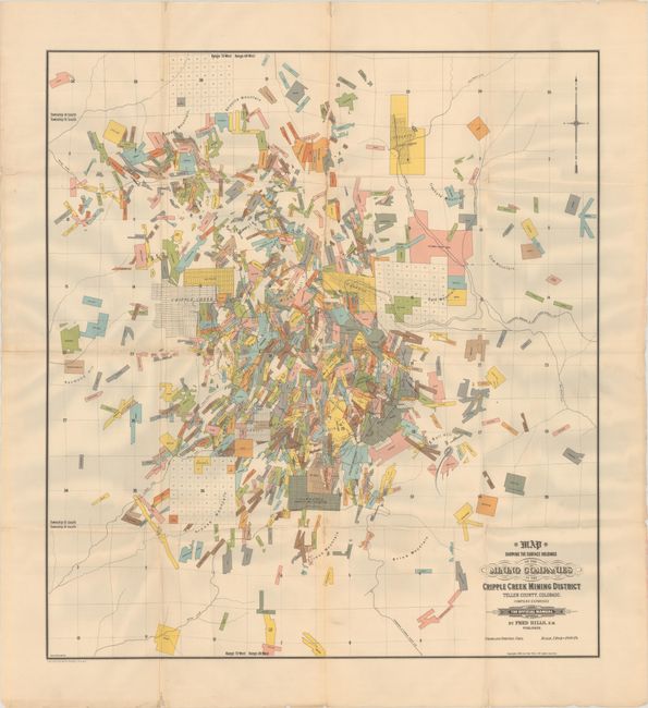
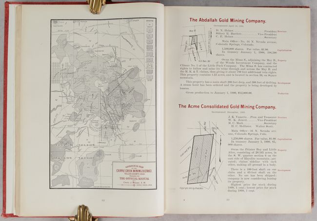
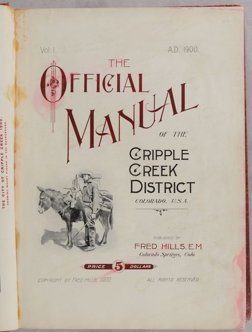
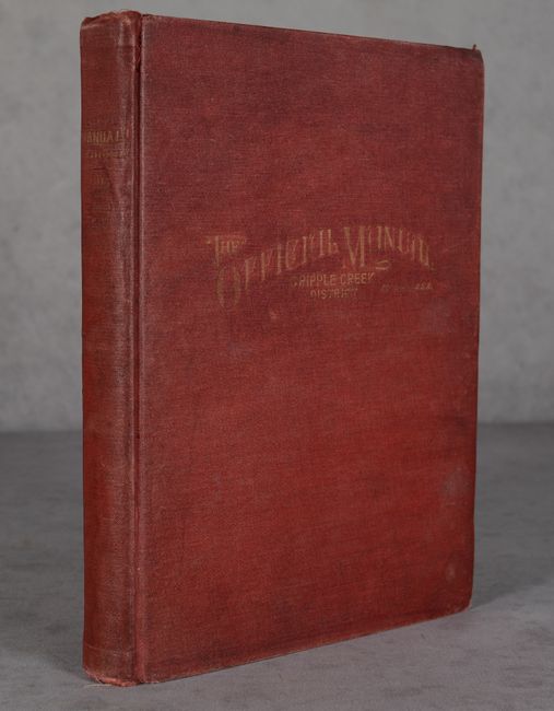
This vey colorful and detailed map was drawn by Edward Rollandet and presents the scores of land holdings in the vicinity of Cripple Creek. The map extends to include the street-grid pattern of Gillett, Cameron, Goldfield, Lawrence, and Arequa. Several railroads are located in the vicinity including the Colorado Springs & Cripple Creek District Railway, Florence & Cripple Creek Railroad, Midland Terminal Railway, and more. The map is laid into the rear pocket of Fred Hills’ The Official Manual of the Cripple Creek District Colorado. The 495 pages of text includes a history of the district with a detailed description of each mining company on the map. The map and manual together present remarkable information of the Cripple Creek District at the height of its Gold Rush. Octavo, hardbound in red cloth with gilt title on the front cover and spine.
References:
Condition: B+
The colorful folding map has a number of short fold separations that have been closed on verso with archival materials. Text is mostly clean and bright with some faint and narrow dampstains along the far sheet edges. Title page has some minor ink stains and adhesive residue along the gutter. Covers are soiled and lightly worn with bumped corners.