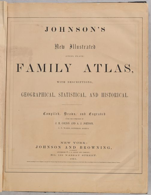
Subject: Atlases
Period: 1861 (published)
Publication:
Color: Hand Color
Size:
14.9 x 18.8 inches
37.8 x 47.8 cm
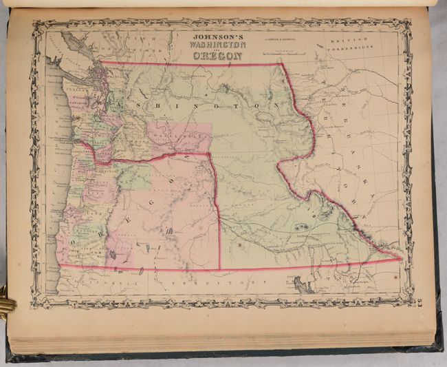
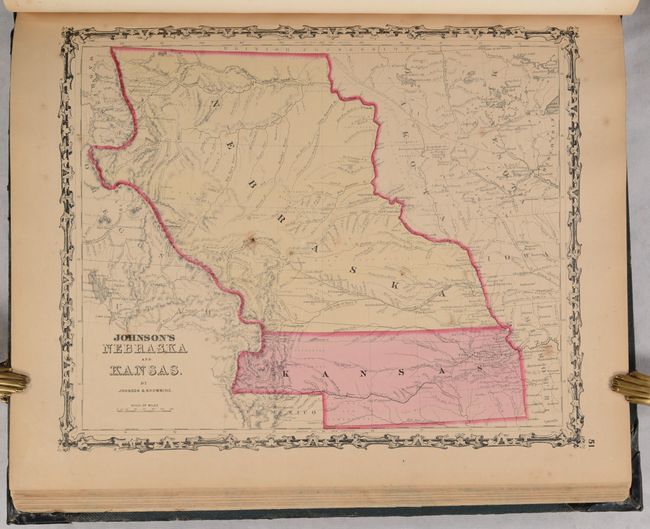
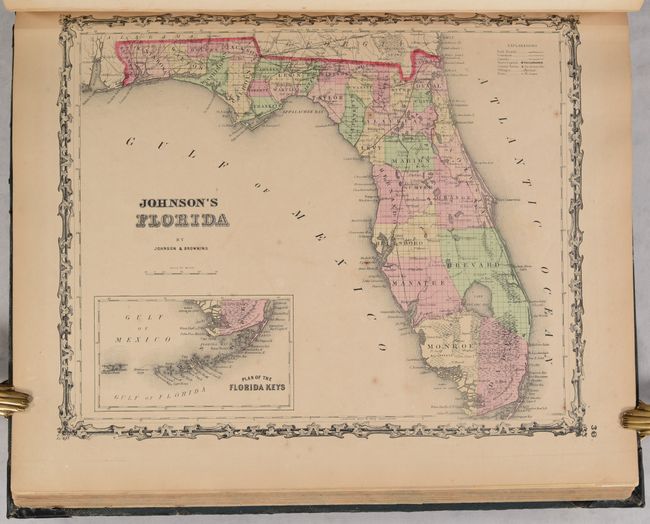
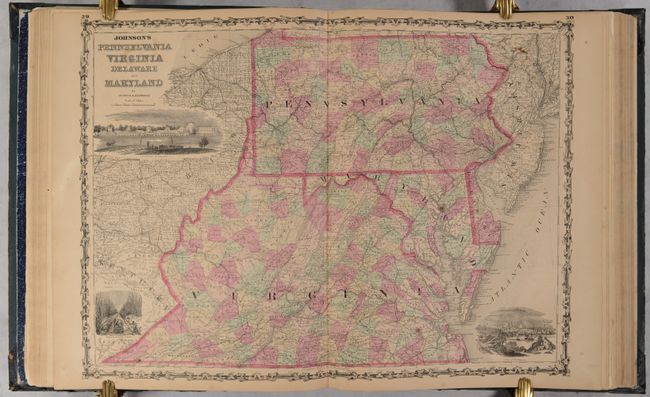
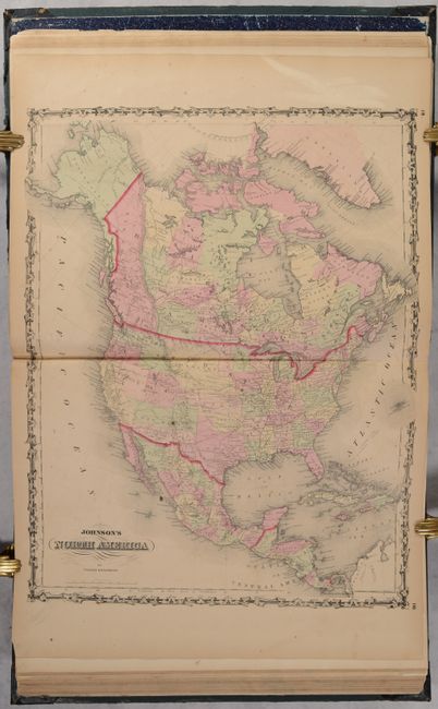
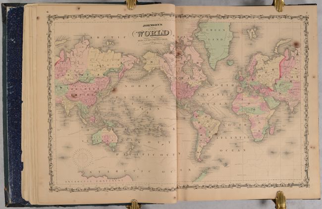
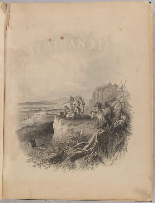
This popular atlas is nearly complete and contains 28 single-page maps and 28 double-page maps (missing the double-page map of North & South Carolina and the single-page map of the Holy Land). These are all beautiful, steel engraved plates with rich color and tremendous detail. Many of the maps include vignettes showing important buildings and vivid scenes. It includes an attractive map of Georgetown and the City of Washington, a great map of the Plains territories, a nice map of the Pacific Northwest, and a beautifully engraved frontispiece. This atlas also contains several thematic maps and diagrams interspersed throughout the text.
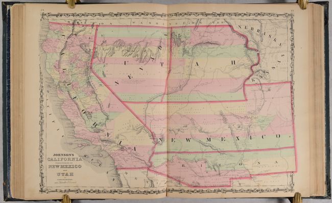
Of particular interest is the map of the Southwest featuring the Confederate Territory of Arizona, which occupies the southern third of New Mexico Territory. Between August 1861 and July 1862, the Confederate General Baylor appointed himself the territorial governor and claimed all of New Mexico Territory south of the 34th Parallel for the Confederacy. The map names the "Gadsden Ten Million Purchase of Mexico" line between the U.S. and Mexico. Nevada Territory makes an early appearance; its boundary with Utah begins near the Great Salt Lake but wanders south-southwest from Lake Sevier. Hastily added to this plate, 'Nevada' is crudely fitted in an arc between the U and T of Utah. Filled with historical notations, one note near Quartzite, Arizona refers to the area as being "fertile and abundantly timbered and well watered," which it most certainly is not. The Emigrant Road, the Hastings Road, and the routes of numerous explorers and military expeditions are detailed. The Gold Region of present-day Colorado's South Park is prominently shown in what was then Kansas. A superb map of the Southwest.
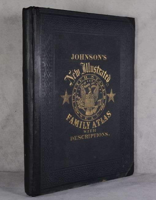
Folio. Rebacked with black leather and tips over original embossed green cloth covers with titling in gilt on front cover.
References:
Condition: B
The maps are good to very good with scattered foxing, light toning, occasional dampstains in the margins, and archival repairs to several small edge tears in the margins. There is a small tear at bottom left in the list of maps, and the frontispiece has some staining at left. Rebacked over original boards, which have only minor wear.