Catalog Archive
Auction 191, Lot 824

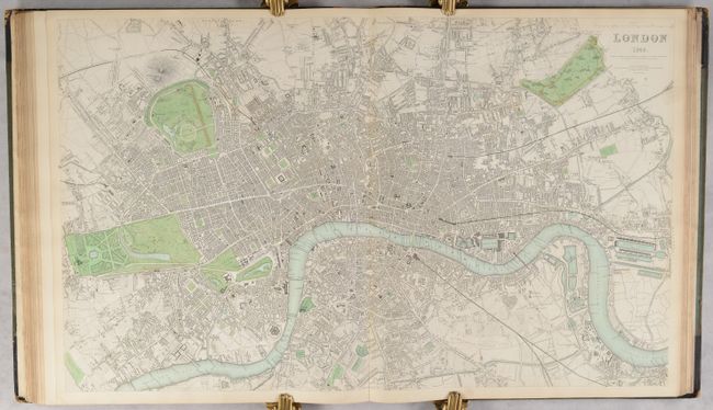
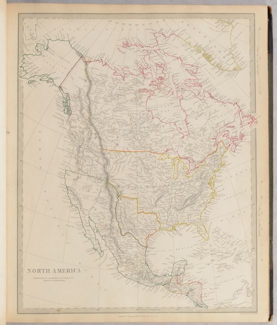
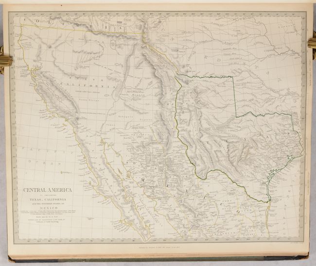
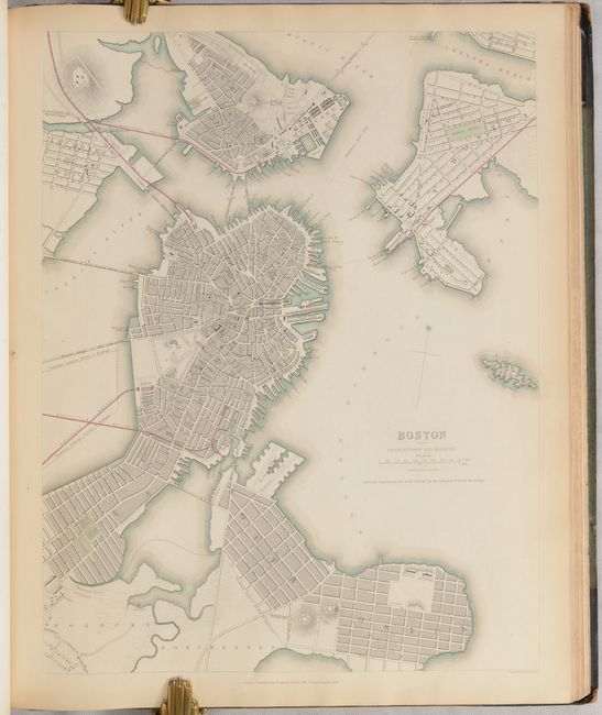
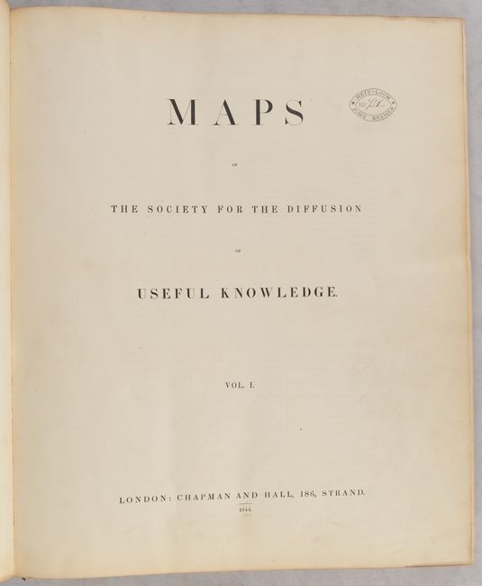
Rare, Complete 2-Volume Atlas with 218 Maps, Including 51 City Plans

"[2 Volumes] Maps of the Society for the Diffusion of Useful Knowlege", SDUK Society for the Diffusion of Useful Knowledge

Subject: Atlases

Period: 1844 (published)

Publication:

Color: Hand Color

Size:
13.9 x 16.4 inches
35.3 x 41.7 cm
Download High Resolution Image
(or just click on image to launch the Zoom viewer)

The beginning of the nineteenth century saw a period of rapid market growth and innovation in the map publishing world. Increased literacy and public interest in new frontiers and colonies overwhelmed the market because it was oriented toward the small, affluent market of the previous century. With the intent to fill this void, The Society for the Diffusion of Useful Knowledge (SDUK) was founded in 1828 in London, by Lord Brougham and a group of men dedicated to the education of the aspiring working class and the Utilitarian ideal of 'Knowledge is Power.' The society produced an array of education materials, but the series of maps was one of their most successful ventures. A number of engravers and printers were used to produce the maps, which eventually exceed 200 sheets, and continued to be published after the Society as a whole ceased to function.

This atlas is in two volumes and includes 218 single-page map plates (some of which combine to form multi-sheet maps) of every region around the world. Included are 12 maps of the world, 6 star charts, 21 of North America, 7 of South America, 31 of Asia, 13 of Africa, 68 of Europe, 4 of Australia and New Zealand, 4 of the oceans, and a chart of the rivers of the world. Also included are 51 plans of cities around the world from Amsterdam to Warsaw, many of which include panoramic views and vignettes of important buildings and sites, making them some of the most desirable 19th century city plans. The plans of London, Paris and Venice are two-sheet plans. Each volume begins with a title page and list of contents, and an index to place names is included after the list of contents in volume I. The volumes are complete.

The map of North America depicts the Southwest prior to Mexico losing the region in the Mexican/American War and an Independent Texas. The boundary between Canada and the United States is left incomplete, leaving the ownership of Oregon Territory (here labeled Columbia) unknown, which is unusual for a British map. Filled with well-developed topography, the map names numerous forts, trading posts, Indian tribes, and locates L. Youla roughly near the Great Salt Lake with the American Fur Depot on its eastern shore. The R. Buenaventura extends to the Pacific from two branches, one originating from a large swamp in the Great Basin. The course of the Snake River is fairly accurate, but the Colorado River originates too far north and rushes to the Sea of Cortez in a straight line. Locates the 3 buttes in present-day Idaho -- important landmarks on the Oregon Trail.

Hardbound in quarter black leather with tips over green cloth-covered boards. Spines have five raised bands and gilt titling and tooling. This two-volume atlas was previously owned by John Brymer, who owned the Puddletown estate and Ilsington House in Dorchester. (Read our article about the SDUK here.)

References:

Condition: B+

Contemporary hand color that is in outline on most maps, with full color on the geological map of England & Wales. The maps are in very good to near fine condition with light soiling, occasional foxing, and light toning along the edges of the sheets. The covers of Volume I are heavily worn and stained with rips in the cloth and bumped corners, and the hinges of Volume I are starting. The text block on Volume II is detached from the spine and covers, which are worn and stained with bumped corners. A previous owner's bookplate is on the inside front cover of each volume, and his personal stamp is on the title page of each volume.

Estimate: $5,500 - $6,500

Sold for: $4,750

Closed on 2/8/2023

Archived