Subject: Atlases
Period: 1785 (circa)
Publication:
Color: Hand Color
Size:
17.3 x 22.5 inches
43.9 x 57.2 cm
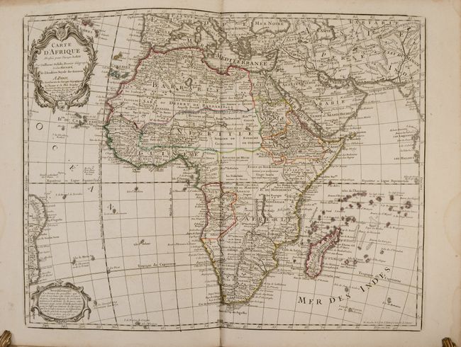
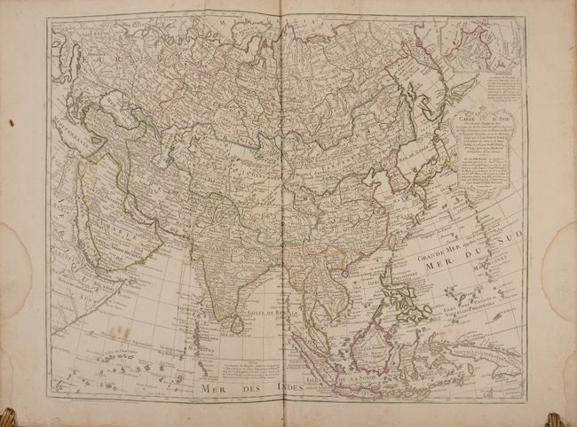
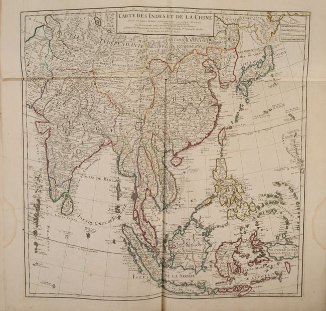
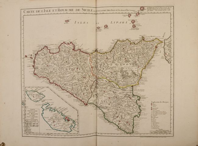
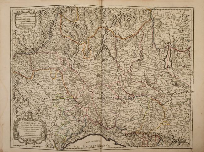
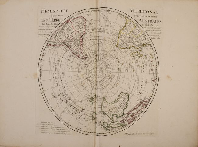
Dezauche's mammoth atlas volume of the world is based largely upon earlier maps first issued by Guillaume Delisle and thereafter by Philip Buache. When Buache's died, his nephew acquired the plates and Dezauche purchased them in 1780. He first published this atlas shortly thereafter in 1781. The present example contains a total of 91 maps, including 89 that are double-page. While there is no list of maps in the volume, manuscript numbering found on verso range from #1-98, with 7 maps of Europe that appear to be missing (manuscript #8, 22, 31, 32 and 34-37). The other regions of the world are complete, with maps broken out as follows: World (5), Europe (63 of 70), Asia (9), Africa (5), and Americas (9). While the title page is dated 1781, both the world and western hemisphere maps are dated 1785 indicating a later publication date. Maps of particular interest in this atlas include:
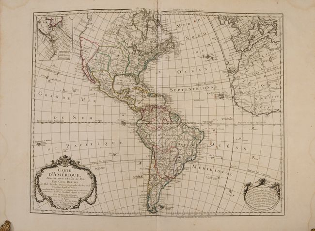
Carte d'Amerique, Dressee pour l'Usage du Roi. Par Guil. Delisle..., dated 1785 (23.6 x 18.8"). This is an updated edition of the important map that was first issued by Delisle in 1722. It was one of the most popular maps of the 18th Century. The new United States is noted extending to the Mississippi River, but the individual state boundaries are still shown on the Appalachian Mountains. The map shows a number of spurious mountains ranges in the West, going east to west and north to south, and sometimes doing both within the same range. This edition shows an inset of Cook's explorations in the Pacific Northwest, but without the related key from the earlier edition.
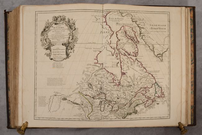
Carte du Canada qui Comprend la Partie Septentrionale des Etats Unis d'Amerique..., dated 1783 (25.6 x 19.7"). This richly detailed map, first issued by Delisle in 1703, provides the most accurate rendering of the Great Lakes of the time, with the lakes fully enclosed and properly placed in longitude and latitude. Delisle's map of Canada and the Great Lakes is one of the most outstanding and influential maps of the eighteenth century. It correctly positions the Ohio River but confuses its name with the Wabash River. West of the Mississippi, Lahontan's fictitious Riviere Longue is prominently depicted. In Canada, special attention is given to the rivers and lakes between Hudson Bay and the St. Lawrence, and Lac de Assenipoils (Lake Winnipeg) connects to Hudson Bay. Sanson's three islands of the Arctic are retained. The exquisite cartouche is decorated with a beaver, natives (one of whom is bearing a scalp), and Jesuit explorers. A table of colors below the cartouche distinguishes the boundaries of the United States and European possessions. This is the eighth state of the map, issued by Dezauche in 1783 and 1789, before nearly all traces of royalty were erased from the cartouche in the wake of the French Revolution. It is the first state to reflect the founding of the United States.
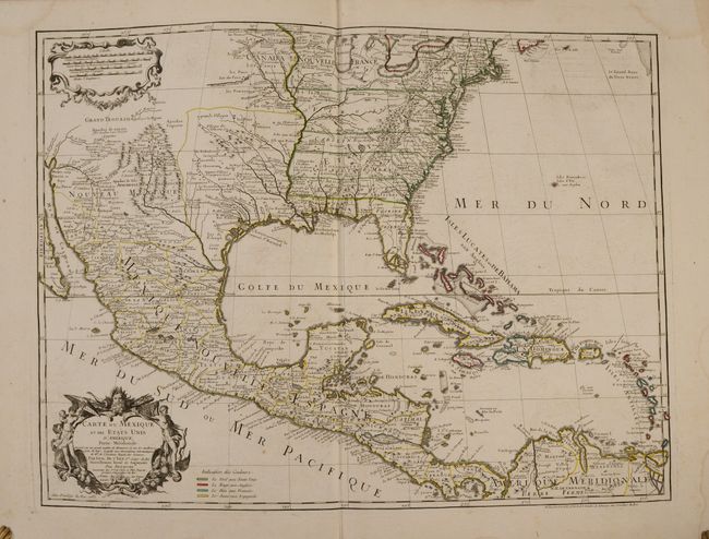
Carte du Mexique et des Etats Unis d'Amerique, Partie Meridionale..., dated 1783 (25.5 x 18.9"). This is the last issue of Delisle's map that was first issued in 1703 with the title Carte du Mexique et de la Floride. Delisle's map is regarded as the first map to correctly show the course of the lower Mississippi, to accurately place the Great Lakes, and to locate many English coastal settlements. Its longevity and numerous copies by other mapmakers attest to the importance of this engraving. This map also contains a very early recognition of the newly formed United States, and a color-coded legend has been added showing the colonial possessions of England, France, Spain and the extent of the United States.
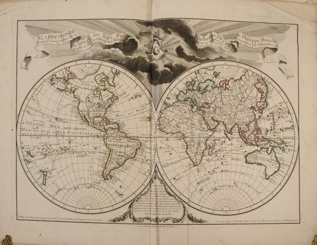
Mappemonde a l'Usage du Roi…, dated 1785 (25.5 x 17.8"). An impressive, large double hemisphere presented in Delisle's crisp, elegant style. The advertisement cartouche mentions the recent discoveries and voyages of Captain Cook, whose exploration routes and dates are noted on the map. The Pacific Northwest and the coasts of Australia and New Zealand are updated with information from his expeditions. There is a note in the newly discovered O-Why-Hee (Hawaii) noting the date that Capt. Cook perished in 1779. The title cartouche is centered on the French royal coat of arms.
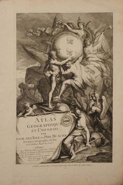
The atlas is completed by a title page featuring an elaborate engraving centered on Atlas who is supporting the world on his shoulders. Above him is the goddess Pheme, sounding her trumpet, and Athena. The banner style title cartouche is located below the scene. Hardbound in full contemporary leather with gilt title label, gilt accents, and raised bands on spine.
** International customers please contact us for a shipping quote **
References:
Condition: B+
The maps have dark impressions with contemporary outline color on sturdy watermarked paper. There is some extraneous creasing, occasional foxing and offsetting, and light dampstains in the blank margins. The map of the vicinity of Paris has a 4" centerfold separation at bottom. Title page contains the stamp of the Société Charitable de Saint-Régis de Paris, and the front endpapers have some wax seal residue. There is cracking along the upper hinge of the front cover and lower hinge of the rear cover. Spine and covers are moderately worn and abraded.