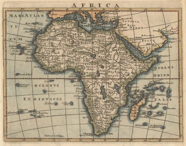
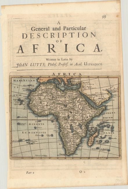
Subject: Africa
Period: 1701 (published)
Publication: A System of Geography
Color: Hand Color
Size:
7.6 x 5.8 inches
19.3 x 14.7 cm
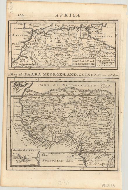
This is Moll's second map of the continent of Africa, first published in 1695 in Abel Swall and Tim Child's Thesaurus Geographicus. Moll was not yet well known in the cartographic business at the time, and perhaps as a result elected to copy Blaeu's outdated (but very popular) 1617 map of Africa for this reduced-size edition, rather than using more contemporary French sources that were available. The Nile is shown according to Ptolemy with its sources arising in two unnamed lakes south of the equator. On verso are two additional maps of northern and western Africa in Moll's more typical engraving style.
References: Betz #159; McCorkle (18th C. Geography Books) #291, Part II, [9] & [10].
Condition: B+
Very light toning with marginal soiling and narrow side margins, as issued.