Catalog Archive
Auction 191, Lot 581

"Magni Ducatus Lithuaniae Tabula Divisa tam in Paltinatus, quam in Subjacentes Castellanias", Wit, Frederick de

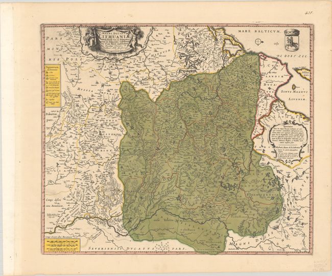
Subject: Eastern Europe, Lithuania

Period: 1697 (circa)

Publication:

Color: Hand Color

Size:
20.6 x 17.4 inches
52.3 x 44.2 cm
Download High Resolution Image
(or just click on image to launch the Zoom viewer)

De Wit's map of Lithuania is a close copy of Johannes Blaeu's map bearing a similar title, which was first published in 1649. The map extends from the Baltic Sea to the Dnieper River and to Krakow in the southwest and Kiev in the southeast. The map is filled with tiny towns, river systems, political boundaries, and forests. A legend at left distinguishes between different types of cities. The map includes a drape-style title cartouche held aloft by putti and the Lithuanian coat of arms.

References:

Condition: A+

A crisp impression with full contemporary color.

Estimate: $700 - $850

Sold for: $1,600

Closed on 2/8/2023

Archived