Catalog Archive
Auction 191, Lot 554

"Circulus Westphaliae cum Omnibus Suis Subjacentibus Provinciis Novissima Delineatio", Ottens, Reiner and Joshua

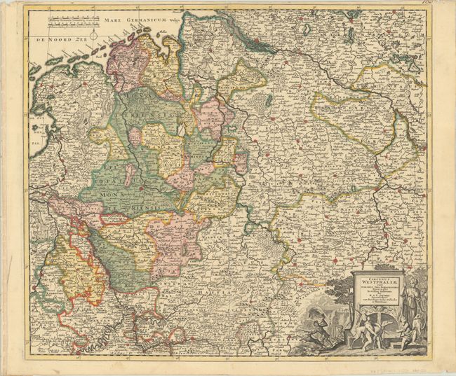
Subject: Western & Central Germany

Period: 1720 (circa)

Publication:

Color: Hand Color

Size:
22.2 x 19.5 inches
56.4 x 49.5 cm
Download High Resolution Image
(or just click on image to launch the Zoom viewer)

This detailed map encompasses most of western and central Germany, extending south to Trier and east to Brandenburg. It is filled with hundreds of tiny towns, political boundaries, and forests, with excellent detail of the river systems in the region. The map is adorned with a decorative title cartouche featuring cherubs with hunting dogs.

References:

Condition: A

A sharp impression with full contemporary color on a bright, watermarked sheet with a narrow top margin, as issued.

Estimate: $240 - $300

Sold for: $180

Closed on 2/8/2023

Archived