Catalog Archive
Auction 191, Lot 498

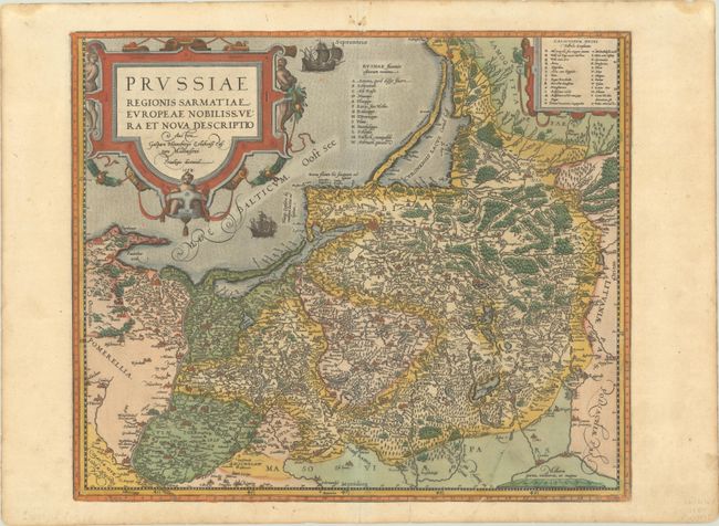
"Prussiae Regionis Sarmatiae Europeae Nobiliss. Vera et Nova Descriptio...", Ortelius, Abraham
Subject: Baltic

Period: 1584 (dated)

Publication: Theatrum Orbis Terrarum

Color: Hand Color

Size:
16.9 x 14.3 inches
42.9 x 36.3 cm
Download High Resolution Image
(or just click on image to launch the Zoom viewer)

Superb map of the Prussian Empire, which includes present-day Poland, Lithuania and the Russian enclave of Kaliningrad (here Konigsperg). Ortelius based the map on the work of Caspar Henneberger (1576). This is the less common first plate with a ship sailing to the bottom right of the title cartouche and a different title, which appeared in editions from 1584-92. German text on verso, published in 1584.

References: Van den Broecke #156.

Condition: A

Full contemporary color on a watermarked sheet with a printer's crease at bottom right, a short centerfold separation at bottom, and marginal soiling.

Estimate: $475 - $600

Sold for: $300

Closed on 2/8/2023

Archived