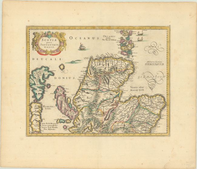
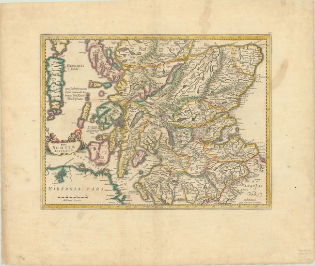
Subject: Scotland
Period: 1640 (circa)
Publication:
Color: Hand Color
Size:
17.9 x 13.9 inches
45.5 x 35.3 cm
Fine pair of maps covering the whole of Scotland based on Mercator's earlier map. After the death of Jodocus Hondius in 1629, his widow sold a number of plates to Blaeu. Angry at the sale to a competitor, Henricus and Joannes Jansson engaged engravers to cut new plates for their expanded edition of the Mercator Atlas. The cartography shows the influence of an earlier map by Nicolas de Nicolay with Mercator's depiction of Cape Wrayght or Faro Head. The map is stylistically updated, dropping the moiré patterned sea, and adding decorative cartouches, putti, and ships. A matched pair. Blank versos.
References: Van der Krogt (Vol. I) #5801:1.2.
Condition: B+
Full contemporary color on bright sheets with wide margins. There is very light soiling and minor foxing. The southern sheet has a printer's crease at bottom.