Subject: Central England
Period: 1646 (circa)
Publication:
Color: Hand Color
Size:
19.5 x 15.1 inches
49.5 x 38.4 cm
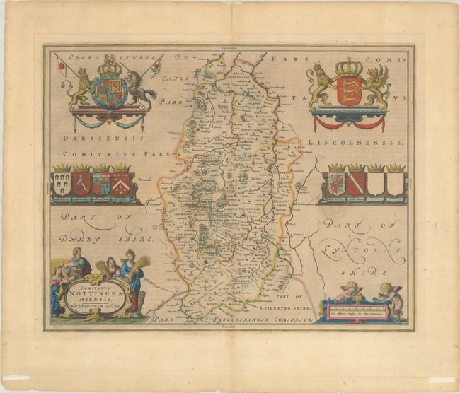
This highly decorative map of Nottinghamshire is filled with fine detail of the county. It is richly embellished with an agrarian themed title cartouche, as well as the coats of arms of the local noblemen and the royal arms. The fabled Sherwood Forest is noted near the center of the map. Latin text on verso, published between 1646-62 in Blaeu's atlas of England.
References: Van der Krogt (Vol. II) #5335:2.
Condition: B+
A dark impression with light printer's ink residue, scattered foxing, and light toning. There is an extraneous crease at bottom and two pieces of tape where the map was folded for framing. There is tape along the top edge of the sheet on verso.


