Subject: Europe
Period: 1950 (circa)
Publication:
Color: Printed Color
Size:
21.4 x 15.7 inches
54.4 x 39.9 cm
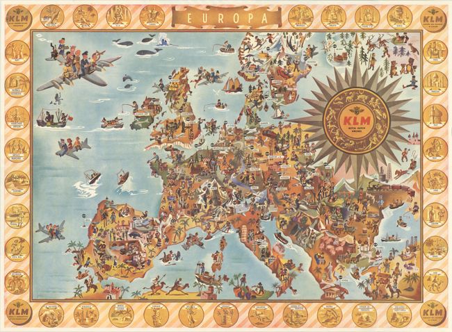
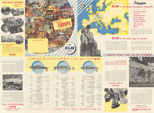
This superb pictorial map of Europe was created by Royal Dutch Airlines, KLM. The map identifies the cities around Europe to which KLM flies, from Lisbon to Helsinki to Istanbul. Each country is filled with charming images representing the people, culture, and sites. Medallions surround the map depicting countries to which KLM flies in Africa, Asia, and the Americas. Folds into a pamphlet titled "Visit Europe Aboard a Flying Dutchman." Printed by Lankhout-Immig N.V. in the Netherlands.
References:
Condition: A+
Fine, issued folding.


