Catalog Archive
Auction 191, Lot 311

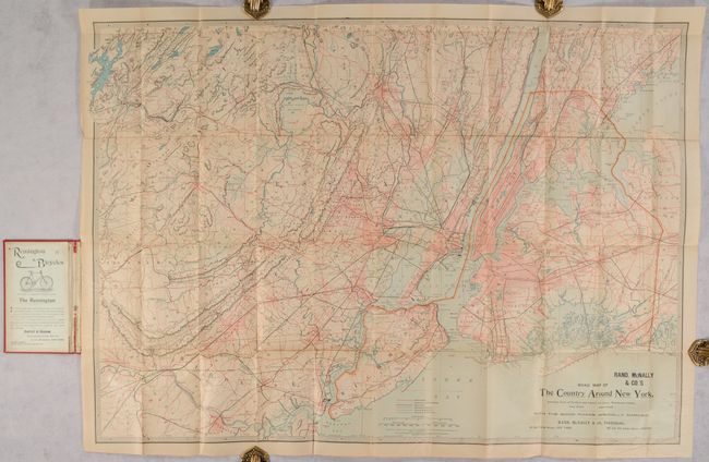
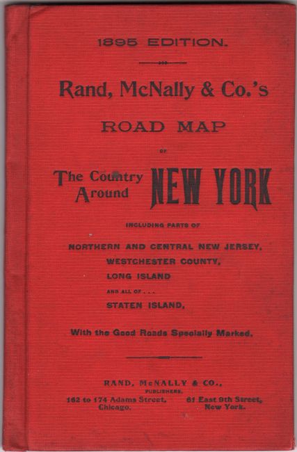
"Rand, McNally & Co.'s Road Map of the Country Around New York. Including Parts of Northern and Central New Jersey, Westchester County, Long Island - - Staten Island...", Rand McNally & Co.

Subject: New York City, New York

Period: 1895 (dated)

Publication:

Color: Printed Color

Size:
35.8 x 25.3 inches
90.9 x 64.3 cm
Download High Resolution Image
(or just click on image to launch the Zoom viewer)

This pocket map of the New York City region was intended for the bicyclist "With the Good Roads Specially Marked." It extends from western Long Island and Manhattan west to beyond New Brunswick and Morristown with a legend identifying Good Roads, "Ordinary Country Roads", Railroads, Elevated Railroads, and boundaries. The street-grid patterns of the larger cities are depicted and both topography and drainage are well represented. Bicycles became a mainstream mode of transportation in the late 19th century with the invention of the safety bicycle in the 1880s. The map was clearly intended for that audience with ads for Remington bicycles appearing on the front endpaper and rear cover. Folds into red cloth boards (4.5 x 6.8").

References:

Condition: B+

Issued folding with a hint of pleasant light toning and few minor splits at the fold junctions. Minor soiling to covers.

Estimate: $160 - $190

Unsold

Closed on 2/8/2023

Archived