Catalog Archive
Auction 191, Lot 291

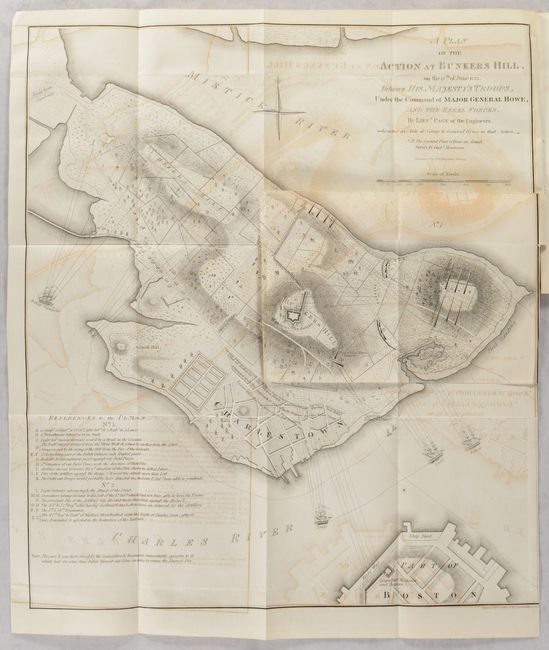
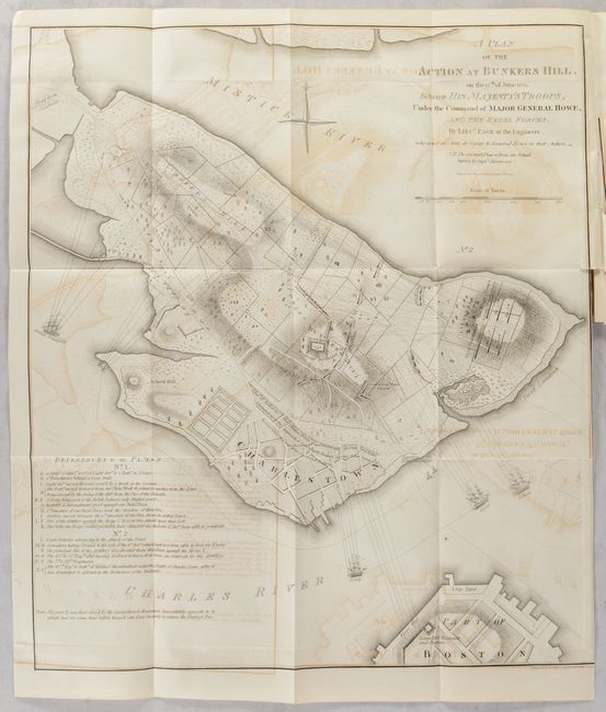
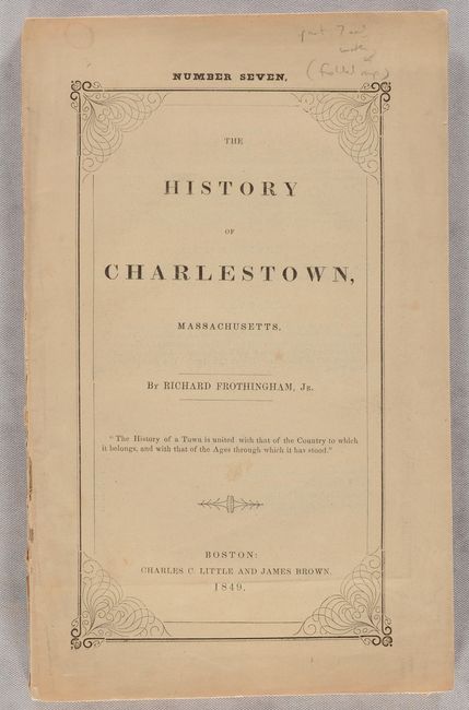
"A Plan of the Action at Bunkers Hill, on the 17th of June 1775. Between His Majesty's Troops, Under the Command of Major General Howe... [in] The History of Charlestown, Massachusetts",

Subject: Boston, Massachusetts

Period: 1849 (published)

Publication:

Color: Black & White

Size:
16.8 x 18.9 inches
42.7 x 48 cm
Download High Resolution Image
(or just click on image to launch the Zoom viewer)

This is issue "number seven," containing the final 56 pages (pp. 313-368) from the History of Charlestown by Richard Frothingham and published by Charles Little and James Brown in Boston. It includes a slightly reduced size reproduction of the famous 1775 map by Lieutenant Page with the ground plan by Montresor. The map illustrates the first major conflict of the two armies and is precisely detailed. It is faithful to the original including the pasted down overlay map (9" x 6") titled "No. 1". The main map shows the final movements and positions of the British troops, while the overlay gives the initial troop deployments. Printed paper wrappers.

References: cf. Nebenzahl (AR) #4.

Condition: B

The folding map has moderate offsetting and a short binding tear at right. Text is clean and bright. Wrappers are lightly soiled and the front wrapper is detached.

Estimate: $350 - $425

Sold for: $250

Closed on 2/8/2023

Archived