Subject: Western United States
Period: 1886 (dated)
Publication:
Color: Printed Color
Size:
30.9 x 14.9 inches
78.5 x 37.8 cm
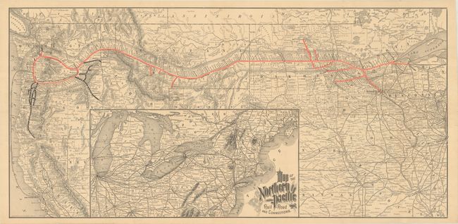
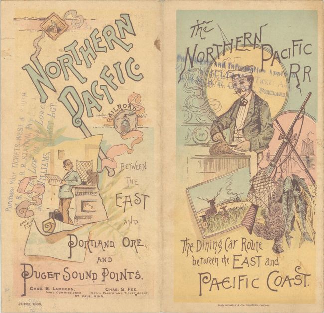
This map illustrates the recently completed Northern Pacific Railroad, connecting the Great Lakes with Puget Sound. It shows the company's spoke lines in red, other company lines in black, stops along the route, and the massive land grants on either side of the railroad which were used to fund construction. While the railroad was originally chartered in 1864, due to several financial obstacles (including bankruptcy), the railroad was not completed until 1883. It continued to expand and was embroiled in the financial panics and monopolies that dominated the railroad industry at the end of the 19th century. Self-folding with illustrated wrappers. This example is larger than ones typically found in the NPRR annual reports.
References:
Condition: A
Issued folding with a couple of tiny splits at the fold junctions.