Subject: Atlases
Period: 1810 (published)
Publication:
Color: Hand Color
Size:
5 x 8.2 inches
12.7 x 20.8 cm
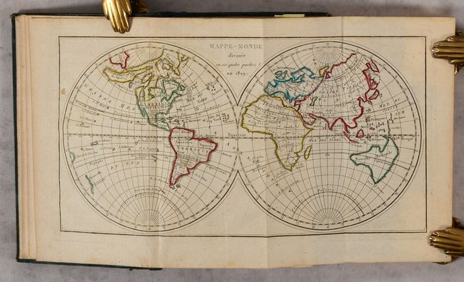
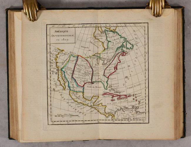
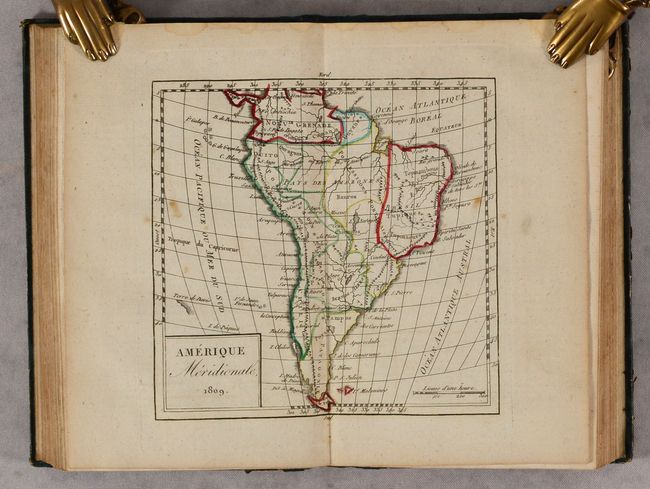
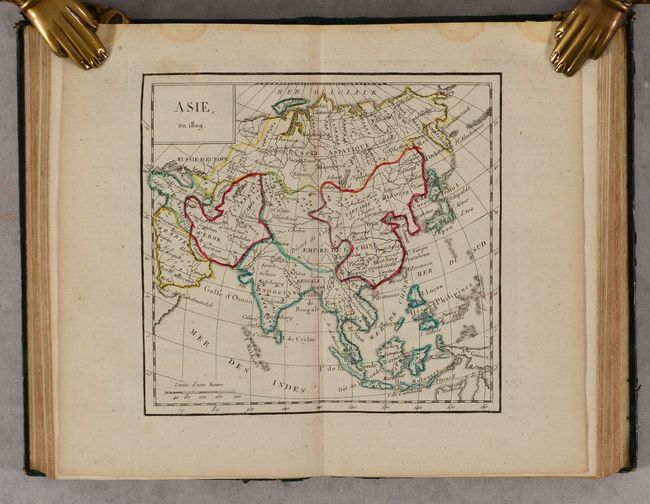
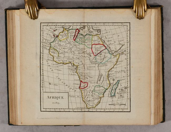
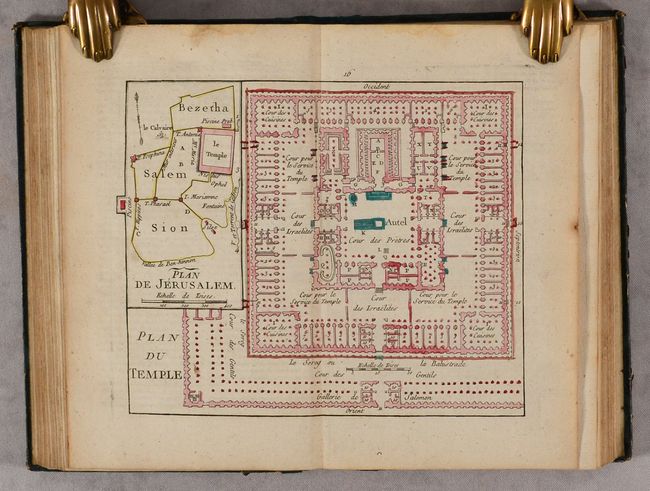
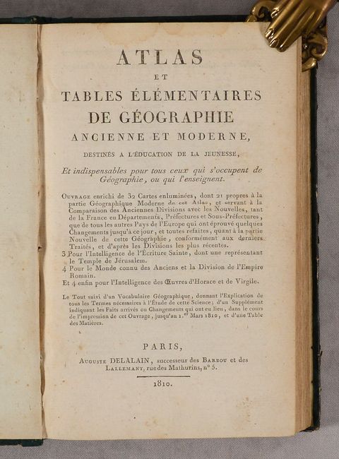
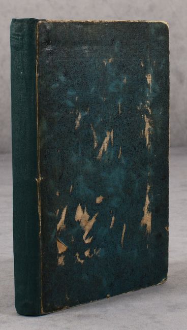
This small atlas by Auguste Delalain was "intended for the education of young people" and contains 32 double-page maps, consisting of 21 modern and 11 ancient maps. The 21 modern maps include the world (folding), Europe, Asia, Africa, North America, South America, and 15 regional maps of Europe. The folding map of the world features a large Sea of the West and a huge Alaskan island stretching out beyond the Asian coastline. In the southern Pacific, Tasmania and New Guinea are connected to the Australian mainland, creating a long eastern coastline. The North America map entitled Amerique Septentrionale en 1809 presents the United States confined to east of the Mississippi River with Louisiane to its west. The west coast is New Albion and the northwest portion of the continent is blank. 177 pages. Rebacked with green cloth over original boards.
References:
Condition: B+
The maps are very good to mostly near fine with some occasional minor foxing and light toning along the sheet edges. There is light dampstaining along the top sheet edges that is entirely confined to the margins. Rebacked with original boards which are scuffed and worn.