Subject: Atlases
Period: 1798 (dated)
Publication:
Color: Black & White
Size:
8.1 x 9.9 inches
20.6 x 25.1 cm
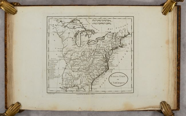
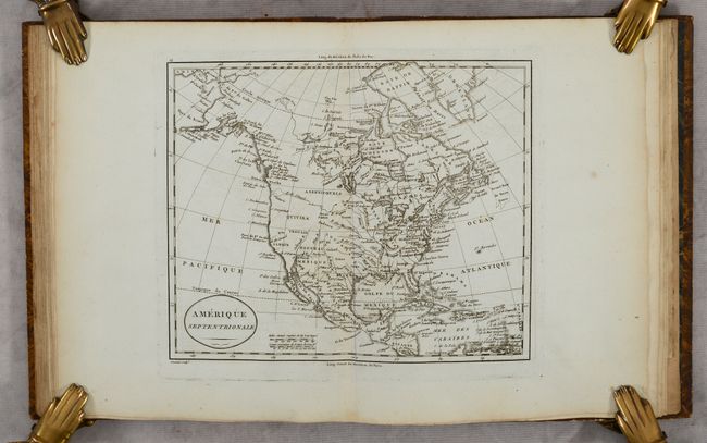
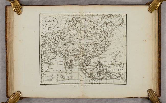
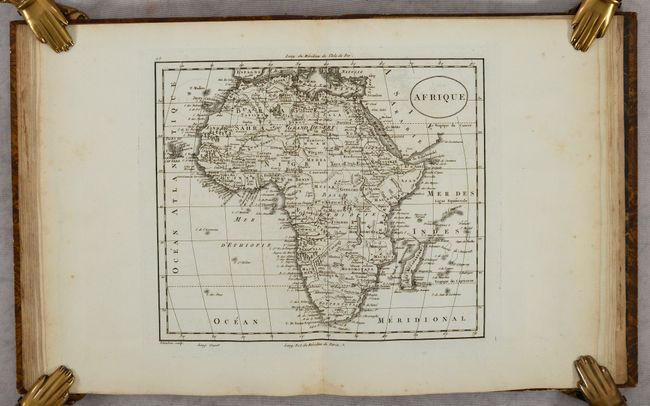
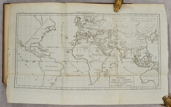
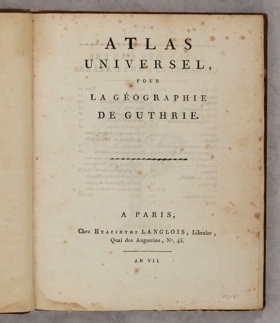
This is the French edition of Guthrie's atlas complete with 28 copper engraved maps (5 large folding) and an engraving of an armillary sphere. It features maps of the world (2), Europe, Asia, East Indies, North America, United States, South America, Africa, the major European nations, and four maps of both the ancient and modern world. The map of the nascent United States is shown with its border extending to the Mississippi River and 15 states are named. It prominently depicts the new territorial Gouvernment de Tennassee with several Revolutionary War land grants situated along the Mississippi River including Army Lands and the Illinois, New Jersey, and Wabash companies. The map of North America presents a large Louisiana, a speculative River of the West connected to a series of lakes and rivers, and an Alaskan coastline that is beginning to take shape. The two world maps show Van Diemen's Land still attached to mainland Australia and an incomplete coastline of New Guinea. Hardbound in quarter calf over marbled boards with title label and gilt decorations on the spine.
References:
Condition: B+
Maps are on bright sturdy sheets with some light scattered foxing and minor offsetting. Covers have light wear.