Catalog Archive
Auction 190, Lot 624

"Cambaia", Bertius/Claesz

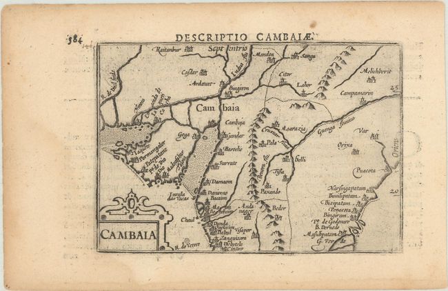
Subject: Pakistan & Northern India

Period: 1602 (circa)

Publication: Tabulae Geographicae Contractae

Color: Black & White

Size:
5 x 3.4 inches
12.7 x 8.6 cm
Download High Resolution Image
(or just click on image to launch the Zoom viewer)

This fine map shows the Kingdom of Cambaia, encompassing the modern-day border between India and Pakistan and the Indus River valley. It features a fine strapwork title cartouche at bottom left. Latin text on verso. Published between 1602-06, in either the second or third edition of Claesz's Tabulae Geographicae Contractae.

References: King (2nd ed.) pp. 80-82; Van der Krogt (Vol. III) #8310:341.

Condition: B+

There is a faint dampstain that barely enters the map image at bottom left.

Estimate: $95 - $120

Sold for: $70

Closed on 11/16/2022

Archived