Catalog Archive
Auction 190, Lot 496

"Royaume de Hongrie, Principaute de Transilvanie, Sclavonie, Croatie, et Partie de la Principaute de Valaquie, de la Bosnie, de la Servie et de la Bulgarie", Robert de Vaugondy, Gilles

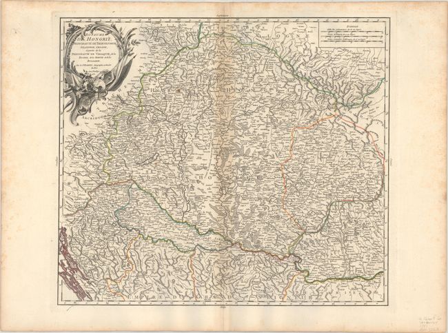
Subject: Southeastern Europe, Hungary

Period: 1751 (dated)

Publication: Atlas Universel

Color: Hand Color

Size:
21.6 x 18.8 inches
54.9 x 47.8 cm
Download High Resolution Image
(or just click on image to launch the Zoom viewer)

This is Robert de Vaugondy's detailed map covering primarily Hungary and Romania with parts of Croatia, Bosnia, Serbia, and Bulgaria. Scores of towns and villages are located with good topographical detail as well. The Chemin de l'Empereur Trajan, Emperor Trajan's route along the Danube, is shown in Romania and Fort Romain is just east of Belgrade. The title cartouche is decorated with implements of war. There are three distance scales at top right.

References: Pedley #288.

Condition: B+

A crisp impression on a watermarked sheet with light toning along the centerfold and a couple small rust spots. There is light scattered foxing along the sheet's edges, well away from map image.

Estimate: $160 - $190

Sold for: $130

Closed on 11/16/2022

Archived