Subject: Germany, Atlases
Period: 1759 (published)
Publication:
Color: Hand Color
Size:
7.5 x 9.9 inches
19.1 x 25.1 cm
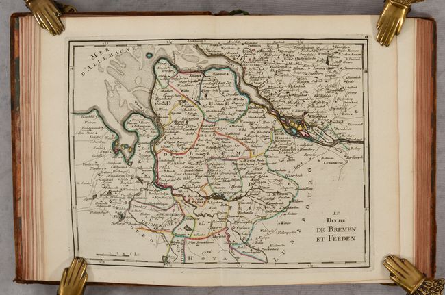
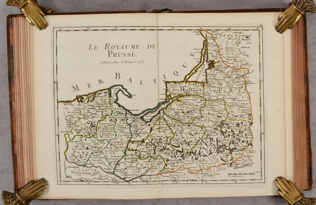
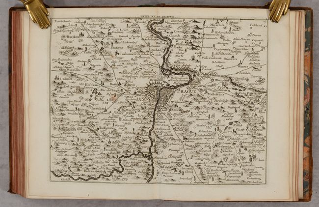
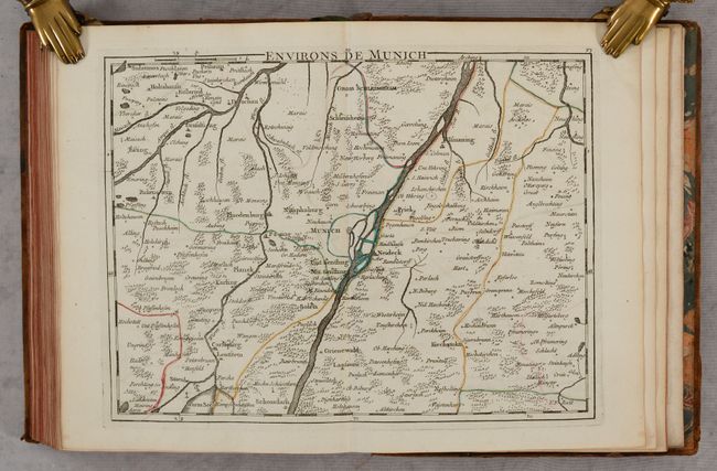
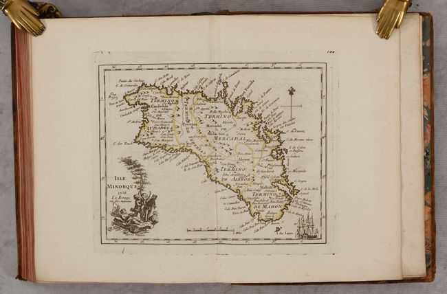
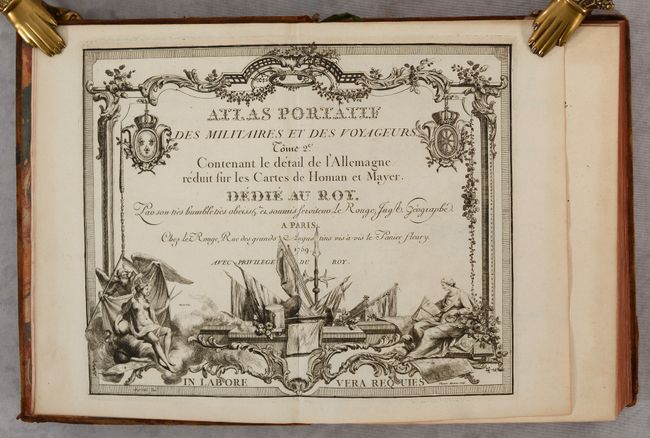
This is the second volume of Le Rouge's work and focuses on Germany and its territories. The first volume, published in 1756, had a slightly different title (Atlas Nouveau Portatif...) and contained maps of the world, continents, and countries around the world. This volume includes 101 regional maps of Germany, as well as a few maps of surrounding areas and a map of the island of Menorca, which had been captured by the French in 1756 during the Seven Years' War and wasn't returned to British control until the Treaty of Paris in 1763.
The maps are filled with details, including towns of various sizes, roads, abbeys, iron and copper forges, mills, and more. The maps are listed in a table, and the volume also includes a 20-page dissertation on Germany.
Quarto; 2 title pages; dedication; preface; 20 pp. text; list of maps; 101 maps. Hardbound in full contemporary leather; gilt tooling and maroon leather title labels on spine; marbled endpapers; green ribbon page marker.
References:
Condition: A
The maps are nice impressions on bright sheets with contemporary outline color. A few maps are on slightly different paper that has become very lightly toned. There is minor offsetting on some of the maps, most commonly of the contemporary color. The covers are lightly worn with abrasions along the edges and bumped corners, and the back cover has some burn marks and a bit of loss of the leather. The spine has some small chips and cracks, and is beginning to detach from the front cover at top and bottom.