Catalog Archive
Auction 190, Lot 413

"Le Gouvernement de Calais & Pais Reconquis", Jansson, Jan

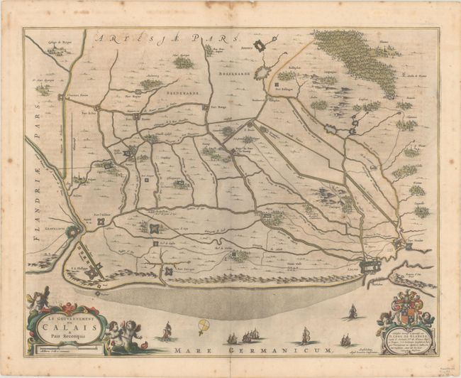
Subject: Northern France

Period: 1644 (circa)

Publication:

Color: Hand Color

Size:
20.1 x 15.9 inches
51.1 x 40.4 cm
Download High Resolution Image
(or just click on image to launch the Zoom viewer)

This map focuses on the coastline between Calais and Gravelines, detailing the fortified towns, roads, rivers, forests, churches and windmills. The map is adorned with a compass rose orienting north to the bottom left, sailing ships, a dedication cartouche to Corn. de Glarges, and a title cartouche featuring mer-putti. German text on verso.

References: Van der Krogt (Vol. I) #4120:1.

Condition: B+

A dark impression with full contemporary color, light toning, scattered foxing mostly confined to the blank margins, and an archivally repaired centerfold separation at bottom.

Estimate: $140 - $170

Sold for: $70

Closed on 11/16/2022

Archived