Subject: France & Belgium, Atlases
Period: 1707 (circa)
Publication:
Color: Hand Color
Size:
16.4 x 21.3 inches
41.7 x 54.1 cm
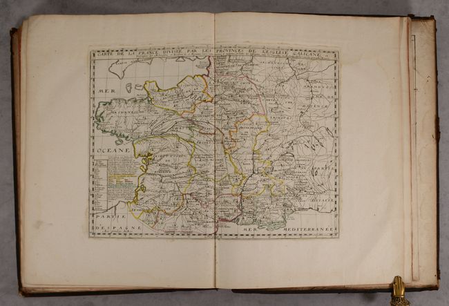
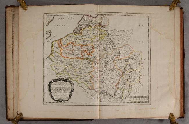
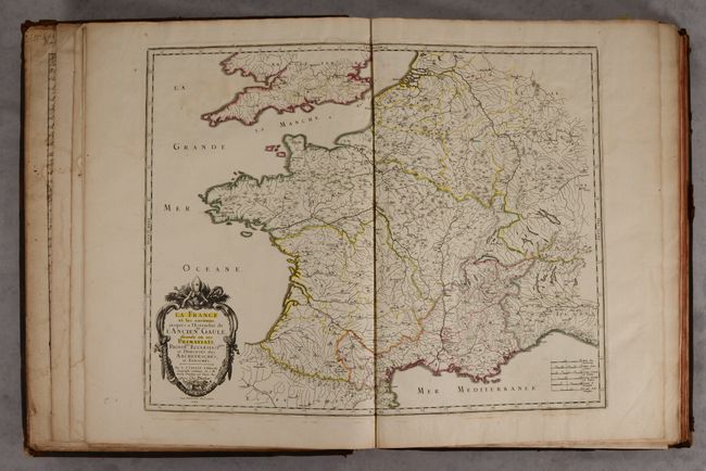
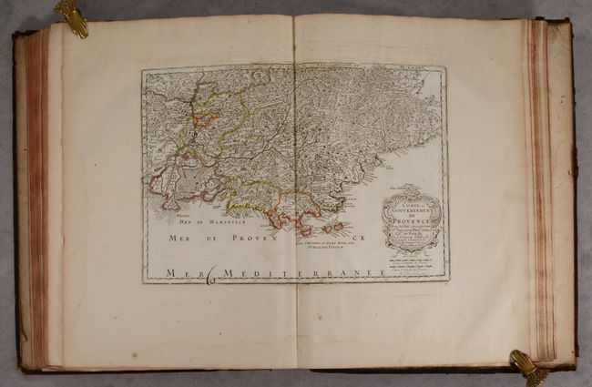
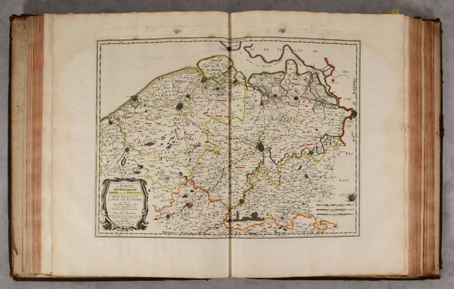
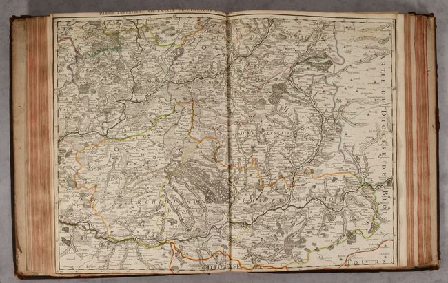
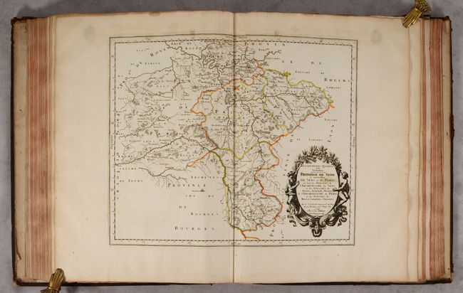
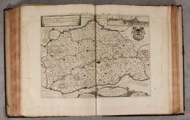
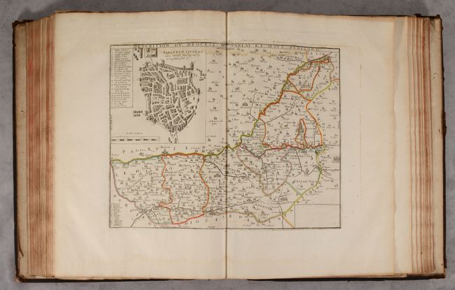
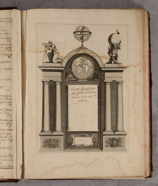
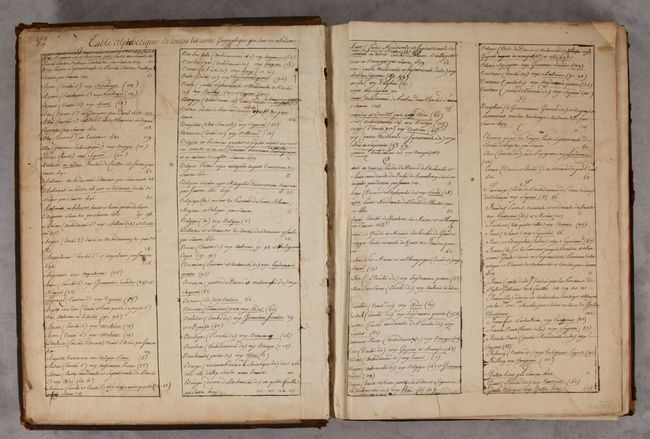
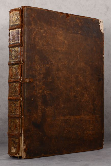
This is a carefully crafted composite edition of Sanson's Cartes Particulieres de la France, which includes maps of France & Belgium. Sanson's atlas of France took many years to complete and was not finished in his lifetime. Work on the maps began in 1653 in conjunction with Pierre Mariette, and maps were completed sporadically over the years. Work was continued by Pierre Mariette's son (of the same name), and Sanson's sons Guillaume and Adrien and his grandson Pierre Moullart-Sanson. By 1696 there were 108 maps. This volume consists of 121 folio-sized maps, nearly all of which are double-page. This volume includes several duplicate maps, such as Carte de la France Divisee par les Provinces de l'Esglise Galicane, which appears in 4 copies with different boundary lines marked to indicate various religious divisions, and 3 copies of Comte et Gouvernement de Provence with similar boundary markings. A blank title page featuring Atlas, a female surveyor, an armillary sphere, and a spherical world map has been included with the title written in old manuscript ink. An index has also been added in old manuscript ink on the pastedowns and free-endpapers in the front and back of the volume. In this composite edition, the maps were professionally remargined to create larger sheets to fit an elephant folio volume. Elephant folio. Hardbound in full contemporary leather with raised bands, gilt tooling and red leather title label on spine.
References: cf. Pastoureau, SANSON VI.
Condition: B+
The maps have contemporary outline color and range in condition from near fine (A) to good (B), with the majority in very good (B+) condition. There are dampstains at top affecting much of the volume, entering the engraved image on some of the maps. A few pages also have dampstains at bottom and along the fore-edge. There is also light soiling and extraneous creasing on some of the maps and the handwritten index pages. The front and back covers are heavily worn and scuffed and are beginning to detach due to the size and weight of the volume. The corners are heavily bumped and chipped. The spine is also worn with cracks and small abrasions.