Catalog Archive
Auction 190, Lot 289

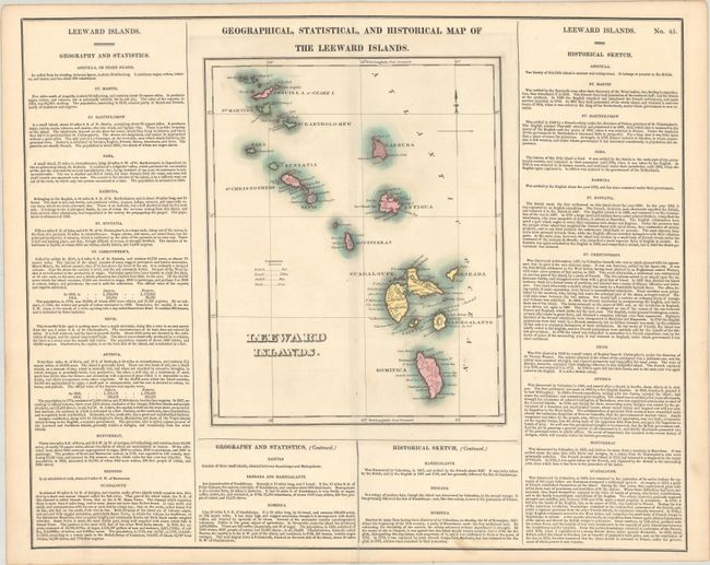
"Geographical, Statistical, and Historical Map of the Leeward Islands", Carey & Lea

Subject: Leeward Islands

Period: 1822 (published)

Publication: A Complete Historical, Chronological, and Geographical American Atlas

Color: Hand Color

Size:
9.3 x 11.5 inches
23.6 x 29.2 cm
Download High Resolution Image
(or just click on image to launch the Zoom viewer)

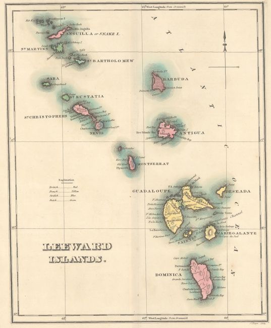
A detailed map of the islands from Anguilla to Dominica. It is nicely engraved and surrounded by informational text that provides many interesting facts and descriptions. A small key at left identifies the possessions of the British, French, Dutch, and Swedes. On a sheet of English text measuring 22.0 x 17.6".

References:

Condition: A

A sharp impression with full contemporary color. There are a couple faint spots in the map, a spot of light soiling in the text at bottom, and a short centerfold separation at bottom that has been closed with archival materials on verso.

Estimate: $110 - $140

Sold for: $55

Closed on 11/16/2022

Archived