Subject: Panama Canal
Period: 1915 (circa)
Publication:
Color: Printed Color
Size:
22.8 x 17.1 inches
57.9 x 43.4 cm
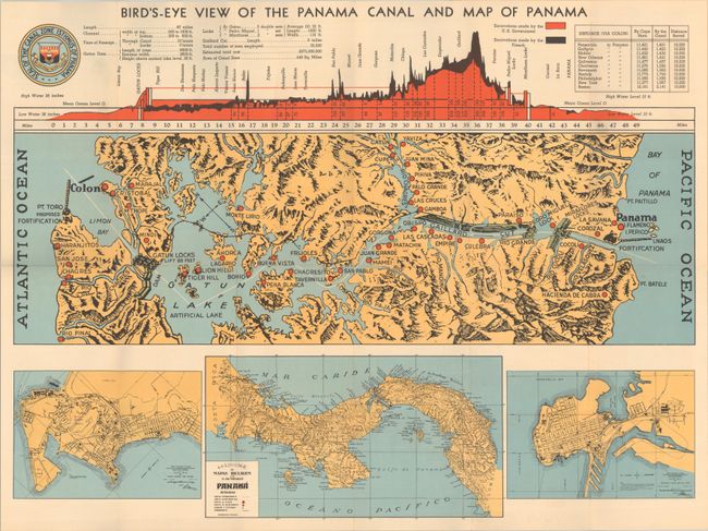
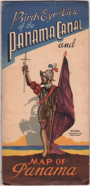
This sheet contains four maps related to the Panama Canal. At center is a detailed map showing the entire course of the canal from Limon Bay to Panama City with larger towns and cities noted by small red dots. The lower third of the sheet features street maps of Colon and Panama City, as well as a map of the broader region extending to Costa Rica and Colombia. A profile at top presents the canal's course and is color-coded to show the excavation work completed by the United States (red) versus French (black). Related text and illustrations fill the verso. Folds into pictorial paper wrappers (4.5 x 9.2").
References:
Condition: A
Clean and bright, issued folding.